
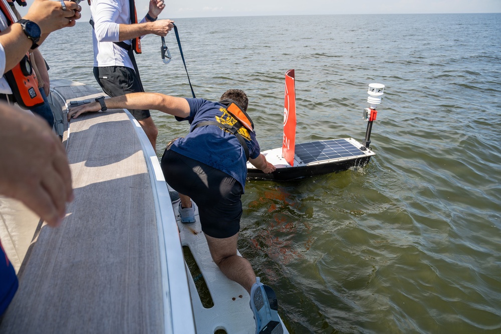
A team of scientists and sailors from the Naval Meteorology and Oceanography Command and commercial technology partner Oshen. has achieved a major milestone: accurately mapping shallow, inshore waters, in challenging conditions, using an autonomous vessel on July 20, 2026.
Established under a Cooperative Research and Development Agreement (CRADA) within the Navy’s Tech Transfer program, this partnership represents the future of defense innovation: combining the Navy’s world-class oceanographic expertise with the agile, cutting-edge solutions of the commercial sector.
| Date Taken: | 07.08.2026 |
| Date Posted: | 08.04.2026 13:54 |
| Photo ID: | 9849206 |
| VIRIN: | 260708-N-OW142-1005 |
| Resolution: | 2048x1365 |
| Size: | 835.91 KB |
| Location: | GULFPORT, MISSISSIPPI, US |
| Web Views: | 43 |
| Downloads: | 1 |

This work, The U.S. Navy and Oshen Forge a New Path in Autonomous Ocean Mapping [Image 9 of 9], by LCDR Ricky Rodriguez, identified by DVIDS, must comply with the restrictions shown on https://www.dvidshub.net/about/copyright.


Sailing into the Future: The U.S. Navy and Oshen Forge a New Path in Autonomous Ocean Mapping
No keywords found.





