
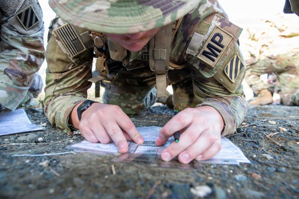
GUANTANAMO BAY, Cuba (July 17, 2026) — A Soldier assigned to Task Force Guard plots grid coordinates on a topographic map during a land navigation exercise at Naval Station Guantanamo Bay, Cuba, July 17, 2026. The exercise challenged participants to accurately determine routes and navigate varied terrain using traditional land navigation techniques. (U.S. Navy photo by Mass Communication Specialist 1st Class Omar Rubi)
| Date Taken: | 07.17.2026 |
| Date Posted: | 08.20.2026 13:27 |
| Photo ID: | 9849040 |
| VIRIN: | 260717-N-HT995-5704 |
| Resolution: | 6720x4480 |
| Size: | 3.61 MB |
| Location: | GUANTANAMO BAY, CU |
| Web Views: | 0 |
| Downloads: | 0 |

This work, Soldiers Navigate Challenging Terrain During Joint Training at NSGB [Image 7 of 7], by PO1 Omar Rubi, identified by DVIDS, must comply with the restrictions shown on https://www.dvidshub.net/about/copyright.


No keywords found.





