
 Subscribe
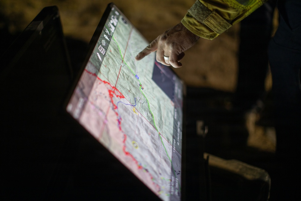
An uncrewed aircraft system (UAS) crew member reviews a map on the Brewer Fire's eastern edge, July 25, 2026, in Central Oregon. UAS crews use aerial imagery and heat signature detection to identify hotspots and guide firefighter response. More than 2,000 lightning strikes across Central Oregon on July 15 sparked multiple large wildfires, including the Brewer, Coyote, Rowe Creek Complex and Akawa Butte fires, which have burned more than 270,000 acres. (Forest Service photo by Andrew Avitt)
| Date Taken: | 07.25.2026 |
| Date Posted: | 07.27.2026 10:07 |
| Photo ID: | 9832780 |
| VIRIN: | 260725-P-NM884-8310 |
| Resolution: | 6720x4480 |
| Size: | 8.11 MB |
| Location: | US |
| Web Views: | 1 |
| Downloads: | 0 |

This work, Brewer Fire Night Operations - UAS [Image 10 of 10], by Andrew Avitt, identified by DVIDS, must comply with the restrictions shown on https://www.dvidshub.net/about/copyright.


No keywords found.




