
 Subscribe
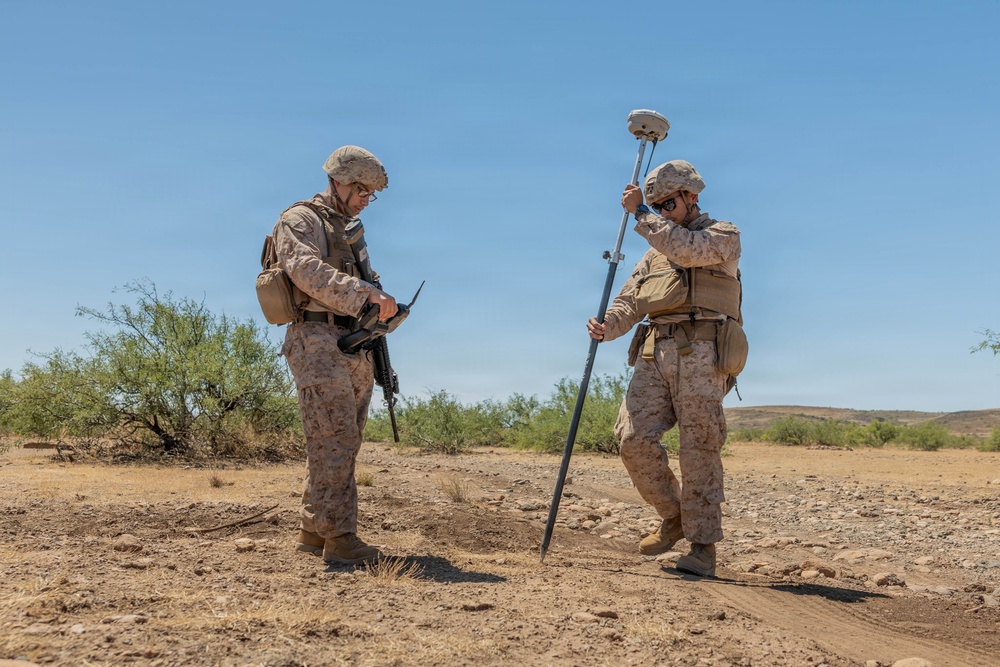
U.S. Marine Corps Lance Cpl. Ignacio Amaya, an engineer assistant with the 8th Engineer Support Battalion, 2nd Marine Logistics Group, assigned to Joint Task Force-Southern Border in support of Operation Ardent Vanguard, prepares 360-degree light detection and ranging survey equipment to conduct a topographical scan near Douglas, Ariz., June 26, 2026. The Marines gathered elevation data and precise coordinates of areas affected by heavy rainfall to help design new road models for future repairs and infrastructure improvements in support of U.S. Border Patrol. U.S. Northern Command is working side-by-side with the Department of Homeland Security and the U.S. Customs and Border Protection within narrowly defined authorities to provide unique military capabilities to protect the territorial integrity of the U.S. southern border. (Dept. of War photo by Cpl. Destiny Perez)
| Date Taken: | 06.26.2026 |
| Date Posted: | 07.07.2026 13:25 |
| Photo ID: | 9784571 |
| VIRIN: | 260626-M-PR730-1275 |
| Resolution: | 5106x3404 |
| Size: | 2.21 MB |
| Location: | DOUGLAS, ARIZONA, US |
| Web Views: | 31 |
| Downloads: | 3 |

This work, Mapping the path: JTF-SB Marines conduct topographical survey [Image 5 of 5], by Cpl Destiny Perez, identified by DVIDS, must comply with the restrictions shown on https://www.dvidshub.net/about/copyright.


No keywords found.




