
 Subscribe
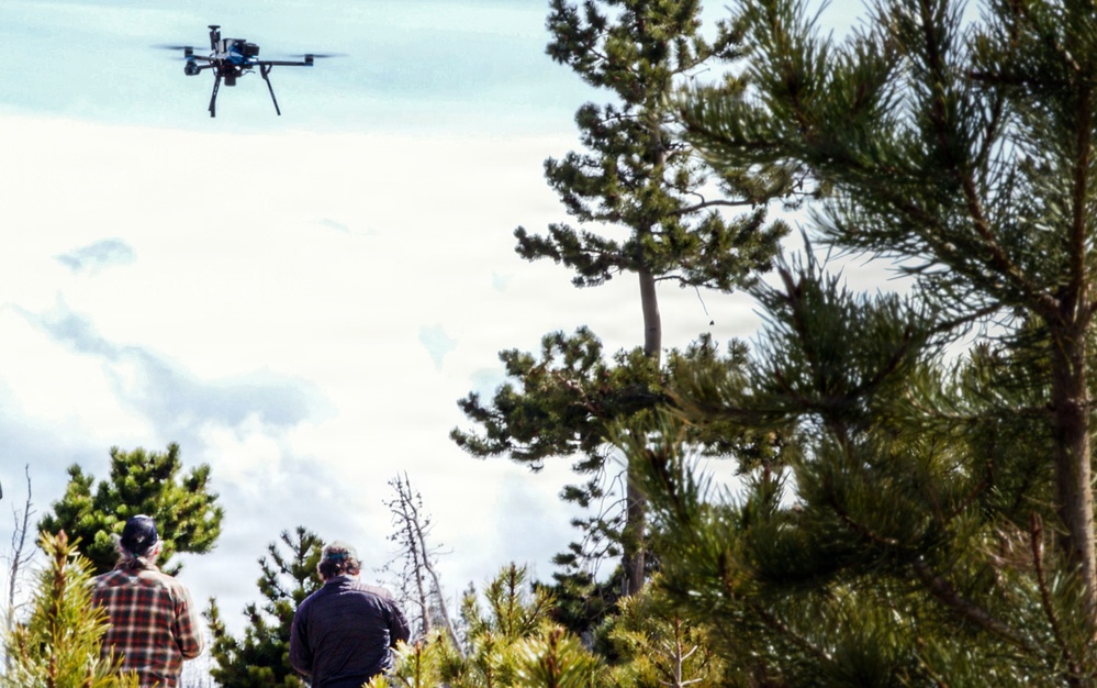
A Forest Service uncrewed aircraft climbs above a forest road within the Roosevelt National Forest near Fort Collins, Colorado, April 9, 2026. The Forest Service is using uncrewed aircraft systems to train artificial intelligence models that measure how much of the landscape is recovering naturally following the August 2020 Cameron Peak Fire, which burned over 200,000 acres. This analysis allows resource managers to determine exactly where crews may still need to intervene for reforestation. (Forest Service photo by Travis Weger)
| Date Taken: | 04.09.2026 |
| Date Posted: | 06.30.2026 08:37 |
| Photo ID: | 9773616 |
| VIRIN: | 260409-P-OI330-1009 |
| Resolution: | 2921x1830 |
| Size: | 846.29 KB |
| Location: | US |
| Web Views: | 23 |
| Downloads: | 1 |

This work, Uncrewed Aircraft System Evaluates Post-Fire Reforestation [Image 9 of 9], by Travis Weger, identified by DVIDS, must comply with the restrictions shown on https://www.dvidshub.net/about/copyright.


From air to algorithm: How drones are training AI models for forest recovery
No keywords found.




