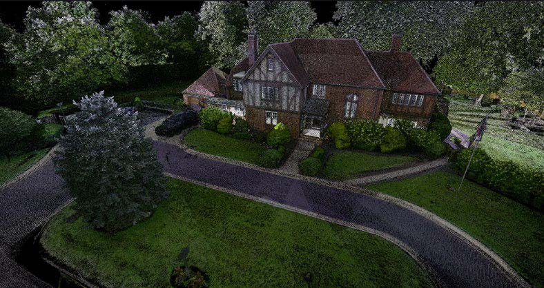
Point Cloud of the Robins House collected with terrestrial LiDAR Scanner. Point Cloud of the house was generated from multiple setups.
| Date Taken: | 07.18.2025 |
| Date Posted: | 07.18.2025 10:16 |
| Photo ID: | 9187856 |
| VIRIN: | 250718-F-F3406-1001 |
| Resolution: | 788x418 |
| Size: | 96.75 KB |
| Location: | US |
| Web Views: | 45 |
| Downloads: | 1 |

This work, LiDAR Technology [Image 4 of 4], by Craig Rodarte, identified by DVIDS, must comply with the restrictions shown on https://www.dvidshub.net/about/copyright.