
 Subscribe
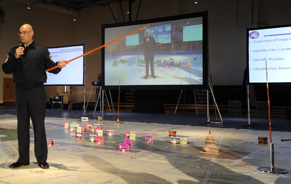
U.S. Air Force Senior Master Sgt. Scott Hinds, Joint Task Force - National Capital Region, briefs during the second large-scale map exercise held at Fort Lesley J. McNair, Nov. 16, in Washington. The 40-by-40 foot map aids members of the 57th Presidential Inaugural staff in planning and preparing for upcoming inaugural ceremonies. (U.S. Air Force photo/Staff Sgt. Brittany E. Jones)
| Date Taken: | 11.16.2012 |
| Date Posted: | 11.16.2012 16:13 |
| Photo ID: | 784393 |
| VIRIN: | 121116-F-ZE674-012 |
| Resolution: | 3236x2044 |
| Size: | 1.57 MB |
| Location: | WASHINGTON, DISTRICT OF COLUMBIA, US |
| Web Views: | 152 |
| Downloads: | 7 |

This work, JTF - NCR map exercise [Image 4 of 4], by MSgt Brittany Jones, identified by DVIDS, must comply with the restrictions shown on https://www.dvidshub.net/about/copyright.


No keywords found.




