
 Subscribe
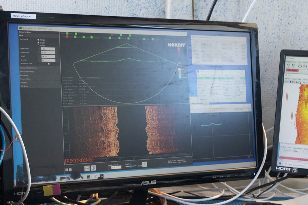
A multibeam system with the U.S. Geological Survey St. Petersburg Coastal and Marine Science Center collects data of sea floor depth values for a geological survey, Marine Corps Base Hawaii, May 12, 2023. The survey mapped the nearshore coast offshore of Fort Hase beach to help predict coastal erosion. The USGS Center is working in conjunction with the University of Hawaii in a 5 year project to provide data of the sea floor to help UH place artificial and living coral reefs that will promote sea life growth in the area. (U.S. Marine Corps photo by Cpl. Chandler Stacy)
| Date Taken: | 05.12.2023 |
| Date Posted: | 05.18.2023 20:11 |
| Photo ID: | 7801940 |
| VIRIN: | 230512-M-IO954-1361 |
| Resolution: | 6062x4041 |
| Size: | 8.09 MB |
| Location: | MARINE CORPS BASE HAWAII, HAWAII, US |
| Web Views: | 22 |
| Downloads: | 6 |

This work, 2023 MCBH U.S. Geological Survey [Image 20 of 20], by Cpl Chandler Stacy, identified by DVIDS, must comply with the restrictions shown on https://www.dvidshub.net/about/copyright.


No keywords found.




