
 Subscribe
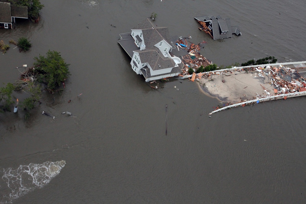
Aerial views of the damage caused by Hurricane Sandy to the New Jersey coast taken during a search and rescue mission by 1-150 Assault Helicopter Battalion, New Jersey Army National Guard, Oct. 30, 2012. (U.S. Air Force photo by Master Sgt. Mark C. Olsen/Released)
| Date Taken: | 10.30.2012 |
| Date Posted: | 10.30.2012 18:44 |
| Photo ID: | 770332 |
| VIRIN: | 121030-F-AL508-095 |
| Resolution: | 5616x3744 |
| Size: | 4.22 MB |
| Location: | NEW JERSEY, US |
| Web Views: | 498 |
| Downloads: | 109 |

This work, Aerial photos of New Jersey coastline in the aftermath of Hurricane Sandy [Image 19 of 19], by Mark Olsen, identified by DVIDS, must comply with the restrictions shown on https://www.dvidshub.net/about/copyright.


No keywords found.




