
(e.g. yourname@email.com)

Forgot Password?

    Digital Visual Information Distribution System Logo

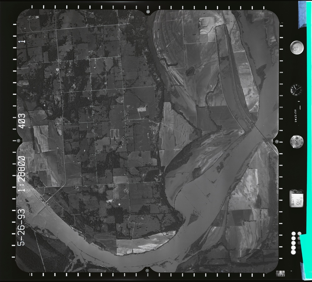
    083252.001 - High water - Ft. Smith - Pine Bluff Fourche Lafave.403.1 S [Image 1 of 3]

    Issued by: on

    VIRIN:
    Date Created:
    City:
    State:
    Country:
    This is a black-and-white aerial photograph taken on May 26, 1993, at a scale of 1:28800, showing a rural landscape with agricultural fields, scattered woodland patches, and a prominent river system. The image captures what appears to be a major river with visible flooding or high water levels, with farmland and rural roads on the western side. The photograph includes standard aerial survey instrumentation markings along the borders.

    GEORGIA, UNITED STATES

    09.30.2020

    Photo by Seaman connor engelmann  

    Defense VI Records Center           

    1-136 137-174.6 inches.1:8800 1:3400.6000 AMT.Sky Tech Aero.398

    IMAGE INFO

    Date Taken: 09.30.2020
    Date Posted: 05.24.2022 16:23
    Photo ID: 7233226
    VIRIN: 201007-D-ZZ999-842
    Resolution: 9655x8708
    Size: 0 B
    Location: GEORGIA, US

    Web Views: 4
    Downloads: 1

    PUBLIC DOMAIN




