
(e.g. yourname@email.com)

Forgot Password?

    Digital Visual Information Distribution System Logo

    083243.156 - Black River.405.8 S [Image 2 of 3]

    Issued by: on

    VIRIN:
    Date Created:
    City:
    State:
    Country:
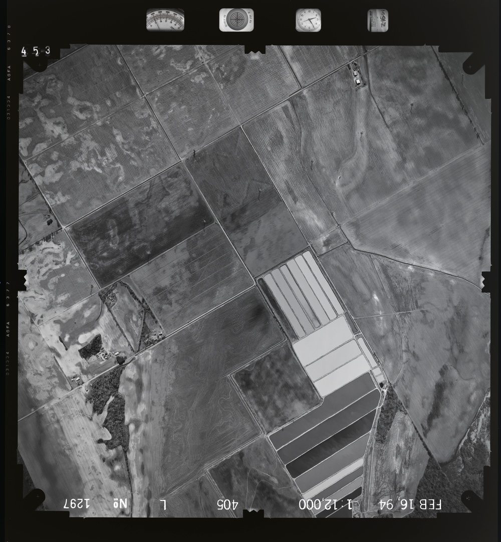
    This is a black-and-white aerial photograph taken on February 16, 1994, at a scale of 1:12,000. The image shows a rural agricultural landscape with a mix of cultivated fields, fallow land, and a notable cluster of rectangular structures that appear to be greenhouses or evaporation/treatment ponds in the center-right of the frame. A watercourse or drainage feature is visible along the left side, and the area includes scattered rural infrastructure.

    GEORGIA, UNITED STATES

    09.30.2020

    Photo by Seaman connor engelmann  

    Defense VI Records Center           

    1288-1413.6 inches.1:12000.6000.Midwest Aerial Photography.408

    IMAGE INFO

    Date Taken: 09.30.2020
    Date Posted: 05.24.2022 16:26
    Photo ID: 7232173
    VIRIN: 201027-D-ZZ999-600
    Resolution: 8690x9395
    Size: 0 B
    Location: GEORGIA, US

    Web Views: 5
    Downloads: 1

    PUBLIC DOMAIN




