
(e.g. yourname@email.com)

Forgot Password?

    Digital Visual Information Distribution System Logo

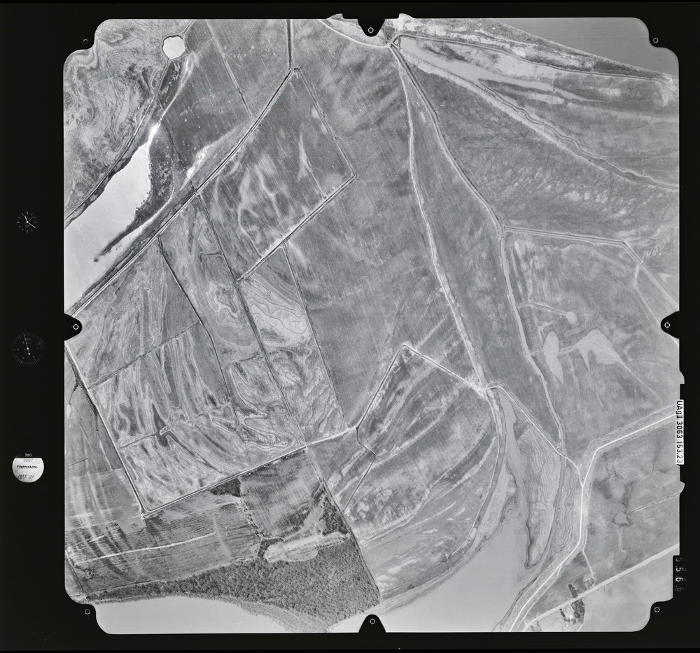
    083228.189 - Arkansas River.382.1 S [Image 12 of 25]

    Issued by: on

    VIRIN:
    Date Created:
    City:
    State:
    Country:
    This is a black-and-white aerial photograph showing agricultural land divided into irregular field parcels with visible tillage patterns and drainage features. A water body or river channel is visible along the left edge, and road or path infrastructure can be seen crossing the landscape. The image appears to be a archival survey photograph, as indicated by calibration markers and reference labels on the frame borders.

    GEORGIA, UNITED STATES

    10.14.2020

    Photo by Seaman connor engelmann  

    Defense VI Records Center           

    1-202.6 inches.1:12000.6000.Flightech.892

    IMAGE INFO

    Date Taken: 10.14.2020
    Date Posted: 05.10.2022 17:47
    Photo ID: 7183908
    VIRIN: 201010-D-ZZ999-759
    Resolution: 9330x8708
    Size: 0 B
    Location: GEORGIA, US

    Web Views: 16
    Downloads: 1

    PUBLIC DOMAIN




