
(e.g. yourname@email.com)

Forgot Password?

    Digital Visual Information Distribution System Logo

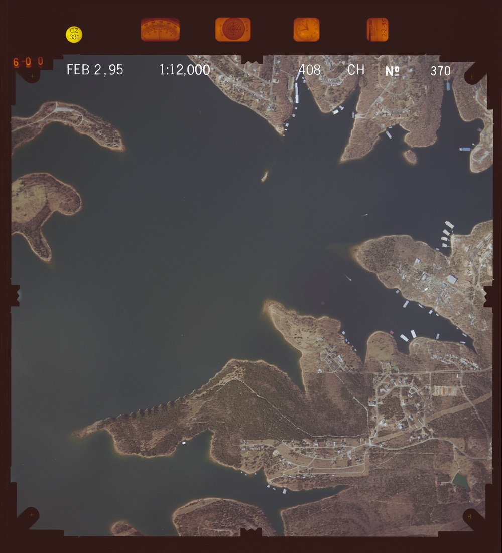
    081039.132 - Table Rock Lake.408.3 S [Image 10 of 10]

    Issued by: on

    VIRIN:
    Date Created:
    City:
    State:
    Country:
    This is an aerial photograph taken on February 2, 1995, at a scale of 1:12,000, showing a large body of water (likely a lake or reservoir) with irregular shorelines, peninsulas, and coves. The surrounding land appears to be sparsely vegetated with dry winter vegetation, and small residential or recreational developments are visible along the shorelines. The image is part of a systematic aerial survey, as indicated by the calibration markers and frame data along the top edge.

    GEORGIA, UNITED STATES

    11.10.2020

    Photo by Seaman connor engelmann  

    Defense VI Records Center           

    275-576.6 inches.1:12000.6000 AMT.Midwest Aerial Photography.424

    IMAGE INFO

    Date Taken: 11.10.2020
    Date Posted: 04.04.2022 10:34
    Photo ID: 7121416
    VIRIN: 201110-D-ZZ999-893
    Resolution: 8646x9527
    Size: 0 B
    Location: GEORGIA, US

    Web Views: 18
    Downloads: 1

    PUBLIC DOMAIN




