
 Subscribe
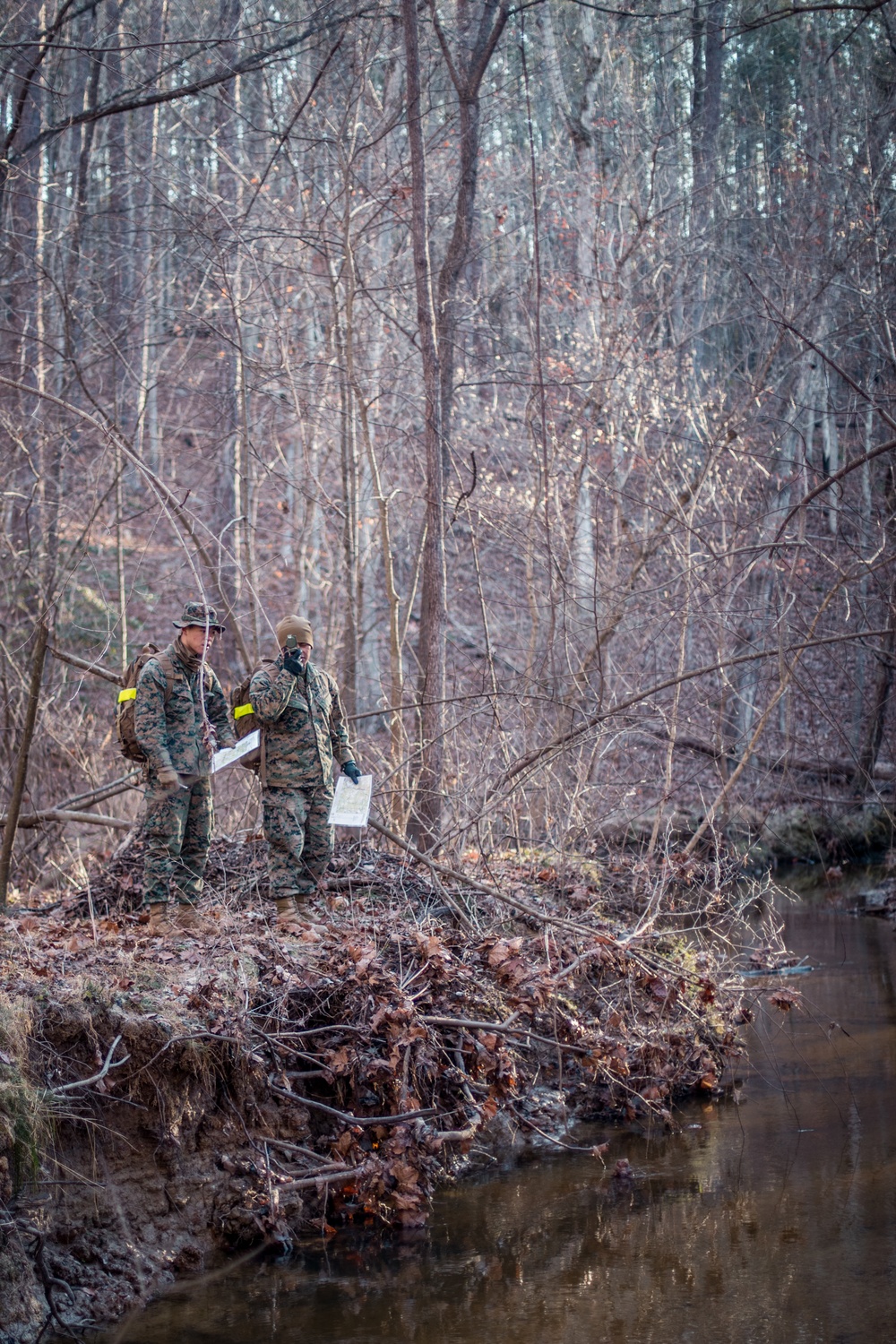
Marines with 23rd Marine Regiment, 4th Marine Division, observe their surroundings during a Marine Corps Corporals Course land navigation training exercise at Fort Pickett, Virginia on Jan. 8, 2022. Land navigation is the ability to find a way through unfamiliar terrain on foot or by vehicle, using maps, a compass and other navigational tools. The Department of Defense, through the U.S. Northern Command, and in support of the Department of Homeland Security, is providing transportation, temporary housing, medical screening, and general support for at least 50,000 Afghan evacuees at suitable facilities, in permanent or temporary structures, as quickly as possible. This initiative provides Afghan personnel essential support at secure locations outside Afghanistan. (U.S. Marine Corps photo by Lance Cpl. David Intriago)
| Date Taken: | 01.08.2022 |
| Date Posted: | 01.10.2022 10:24 |
| Photo ID: | 7005606 |
| VIRIN: | 220108-M-NA519-1258 |
| Resolution: | 3227x4840 |
| Size: | 10.68 MB |
| Location: | FORT PICKETT, VIRGINIA, US |
| Web Views: | 55 |
| Downloads: | 13 |

This work, How to Read a Map [Image 8 of 8], by LCpl David Intriago, identified by DVIDS, must comply with the restrictions shown on https://www.dvidshub.net/about/copyright.


No keywords found.




