
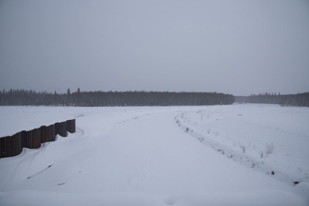
Looking upstream of the waterworks of the Chena River Lakes Flood Control Project on Feb. 19 near North Pole, Alaska. Currently the river is frozen in place but when the ice melts in the spring, the U.S. Army Corps of Engineers – Alaska District monitors river levels to prevent flooding in downtown Fairbanks. (U.S. Army Photo by Rachel Napolitan)
| Date Taken: | 02.19.2021 |
| Date Posted: | 03.19.2021 11:28 |
| Photo ID: | 6563686 |
| VIRIN: | 210219-A-QR280-3016 |
| Resolution: | 6016x4016 |
| Size: | 9.07 MB |
| Location: | NORTH POLE, ALASKA, US |
| Web Views: | 18 |
| Downloads: | 3 |

This work, General visits northernmost USACE-run flood control project [Image 5 of 5], by Rachel Napolitan, identified by DVIDS, must comply with the restrictions shown on https://www.dvidshub.net/about/copyright.


General visits northernmost USACE-run flood control project
No keywords found.





