
 Subscribe
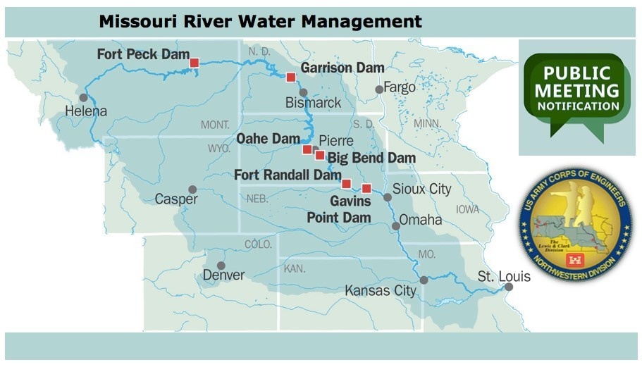
Public Meetings are held each spring and fall across the Missouri River basin. Fall public meetings provide an update on current year's runoff and reservoir operations as well as planned operations for the next year's runoff season. The Annual Operating Plan for the next year's runoff season is released for public comment in September, presented at the public meetings and finalized at the end of the calendar year. Spring public meetings provide a status of mountain snowpack, a runoff forecast for the year, and how operations during the runoff year will meet the authorized purposes for the Missouri River Mainstem System.
| Date Taken: | 10.24.2018 |
| Date Posted: | 10.23.2020 09:50 |
| Photo ID: | 6399687 |
| VIRIN: | 181024-A-RO090-001 |
| Resolution: | 911x521 |
| Size: | 100.57 KB |
| Location: | OMAHA, NEBRASKA, US |
| Web Views: | 50 |
| Downloads: | 0 |

This work, Corps updates stakeholders on Missouri River Mainstem System operations, by Eileen Williamson, identified by DVIDS, must comply with the restrictions shown on https://www.dvidshub.net/about/copyright.




