
 Subscribe
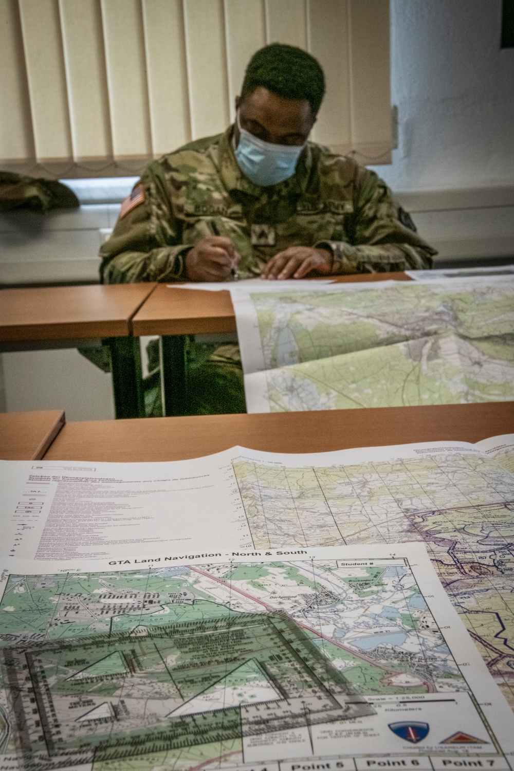
Sgt. Bogan plots coordinates in the classroom portion of a land navigation course during annual training at Grafenwoehr training area in Bavaria, Germany, July 27, 2020. The 510th RSG spent 16 days in the area both performing mayor cell duties for nearly 150 Soldiers within the 7th Mission Support Command and a variety of training events to include the classroom and field training portions for land navigation.
| Date Taken: | 07.27.2020 |
| Date Posted: | 08.05.2020 04:31 |
| Photo ID: | 6296636 |
| VIRIN: | 200727-A-CQ961-0008 |
| Resolution: | 2752x4128 |
| Size: | 8.38 MB |
| Location: | RHEINLAND-PFALZ, DE |
| Web Views: | 55 |
| Downloads: | 5 |

This work, Soldiers prepare for land navigation [Image 2 of 2], by Patrick Loch, identified by DVIDS, must comply with the restrictions shown on https://www.dvidshub.net/about/copyright.


510th RSG at Forward and Ready 2020
No keywords found.




