
(e.g. yourname@email.com)

Forgot Password?

    Digital Visual Information Distribution System Logo

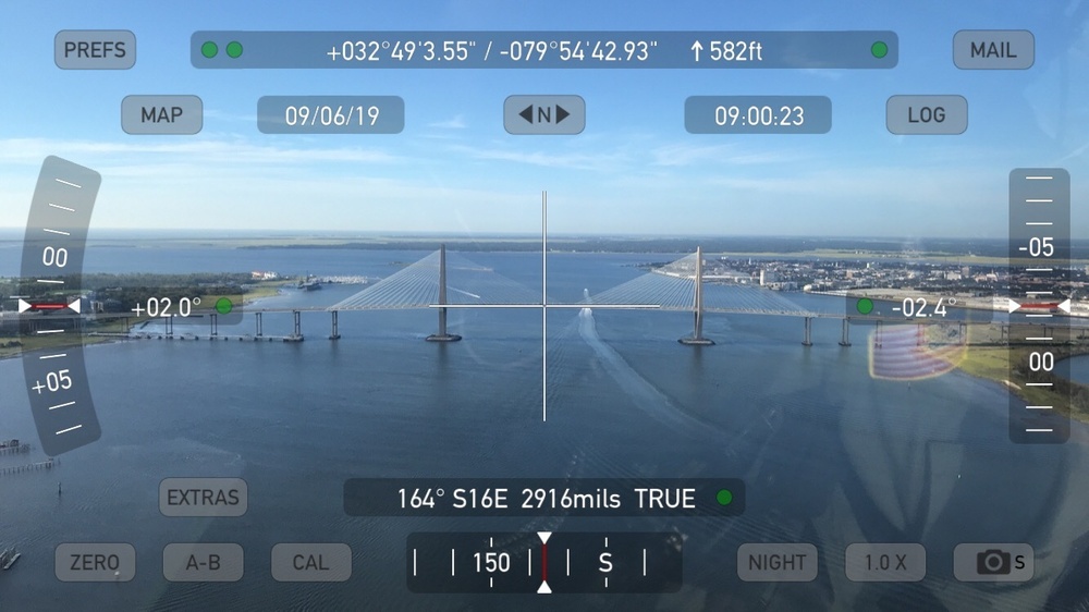
    Crewmembers from Coast Guard Airstation Savannah and Sector Charleston conduct overflight assessments [Image 4 of 7]

    Issued by: on

    VIRIN:
    Date Created:
    City:
    State:
    Country:
    An aerial drone or camera view of a large cable-stayed bridge over a wide body of water, captured through a navigation/compass app interface. The HUD overlay displays GPS coordinates, altitude, heading, date, and time data. The location appears to be the Arthur Ravenel Jr. Bridge in Charleston, South Carolina, based on the coordinates (+032°49'3.55" / -079°54'42.93").

    CHARLESTON, SOUTH CAROLINA, UNITED STATES

    09.06.2019

    Photo by Petty Officer 2nd Class Michael Himes 

    U.S. Coast Guard PADET Jacksonville   

    Crewmembers from Coast Guard Airstation Savannah and Sector Charleston conduct overflight assessments the Ravenel Bridge following Hurricane Dorian Sept. 6, 2019. Ensuring the integrity of our Marine Transportation System and local waterways is a vital part of restoring regional ports and economic activity. U.S. Coast Guard Photo by Chief Warrant Officer Richard Keefauver.

    IMAGE INFO

    Date Taken: 09.06.2019
    Date Posted: 09.06.2019 18:14
    Photo ID: 5728145
    VIRIN: 190906-G-SF967-669
    Resolution: 1334x750
    Size: 180.23 KB
    Location: CHARLESTON, SOUTH CAROLINA, US

    Web Views: 73
    Downloads: 4

    PUBLIC DOMAIN




