
 Subscribe
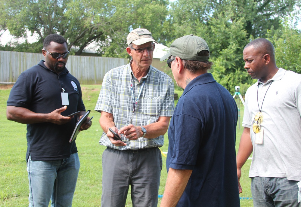
Tulsa, OK, USA--June 26, 2019--FEMA and the Oklahoma Water Resources Board were given a demonstration by the USGS in establishing high water marks after a flood. Ground elevation, GPS data, and site investigation are some of the factors used to establish a high water mark. The group visited the Philcrest Hills Tennis Club to view the high water marks following flooding in the May/June torrential rains and wind storms.
| Date Taken: | 06.26.2019 |
| Date Posted: | 06.27.2019 17:00 |
| Photo ID: | 5534844 |
| VIRIN: | 190626-O-JG751-780 |
| Resolution: | 3345x2304 |
| Size: | 4.49 MB |
| Location: | TULSA, OKLAHOMA, US |
| Web Views: | 31 |
| Downloads: | 2 |

This work, Establishing High Water Marks [Image 2 of 2], by Judith Grafe, identified by DVIDS, must comply with the restrictions shown on https://www.dvidshub.net/about/copyright.


No keywords found.




