
 Subscribe
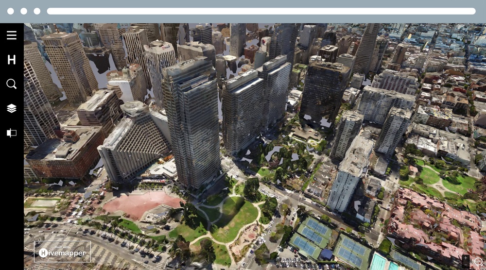
Hivemapper has developed a modern mapping platform that blends 3D mapping with computer-vision algorithms that automatically see and reveal changes happening in the world. (Image courtesy of Hivemapper)
| Date Taken: | 10.10.2018 |
| Date Posted: | 12.12.2018 14:58 |
| Photo ID: | 4969012 |
| VIRIN: | 181212-A-A4416-007 |
| Resolution: | 3600x2000 |
| Size: | 3.83 MB |
| Location: | US |
| Web Views: | 61 |
| Downloads: | 3 |

This work, MAPPING CHANGES [Image 7 of 7], must comply with the restrictions shown on https://www.dvidshub.net/about/copyright.


Army-funded xTechSearch competition now down to twelve
No keywords found.




