
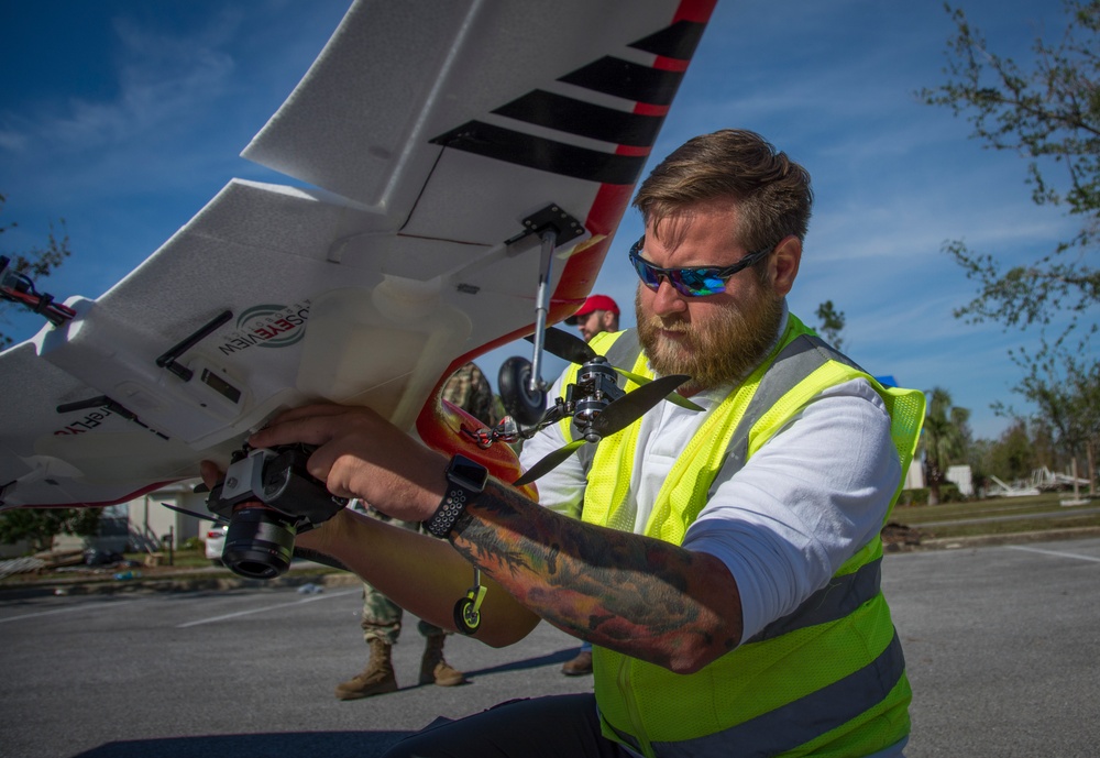
Kenneth Matheson, an unmanned aircraft system pilot with the U.S. Army Engineer Research and Development Center, prepares his fixed-wing drone before a flight Nov. 17. The capability, which can accumulate a trove of data to potentially expedite temporary roof repairs for survivors following a disaster, is being field tested to support Operation Blue Roof for the first time. Matheson and the UAS team were asked to deploy to Florida to support the Corps of Engineers recovery operations following Hurricane Michael.
| Date Taken: | 11.17.2018 |
| Date Posted: | 11.18.2018 15:42 |
| Photo ID: | 4911610 |
| VIRIN: | 181117-A-CQ961-017 |
| Resolution: | 4812x3316 |
| Size: | 8.51 MB |
| Location: | LYNN HAVEN, FLORIDA, US |
| Web Views: | 33 |
| Downloads: | 12 |

This work, Getting more data, faster: unmanned aircraft systems support disaster recovery operations [Image 5 of 5], by Patrick Loch, identified by DVIDS, must comply with the restrictions shown on https://www.dvidshub.net/about/copyright.


No keywords found.





