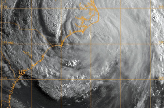
A GOES-13 infrared satellite image provided by the U.S. Naval Research Laboratory, Monterey, Calif., showing the status of Hurricane Irene at approximately 1 a.m. EST, Aug. 27. Hurricane Irene made landfall near Cape Lookout, N.C. as a Category 1 hurricane with sustained winds of 85 miles-per-hour.
| Date Taken: | 08.27.2011 |
| Date Posted: | 09.01.2011 13:16 |
| Photo ID: | 450551 |
| VIRIN: | 110827-N-ZZ999-001 |
| Resolution: | 538x355 |
| Size: | 188.07 KB |
| Location: | ATLANTIC OCEAN |
| Web Views: | 12 |
| Downloads: | 2 |

This work, DLA provides food, fuel to FEMA in hurricane aftermath, by Beth Reece, identified by DVIDS, must comply with the restrictions shown on https://www.dvidshub.net/about/copyright.