
 Subscribe
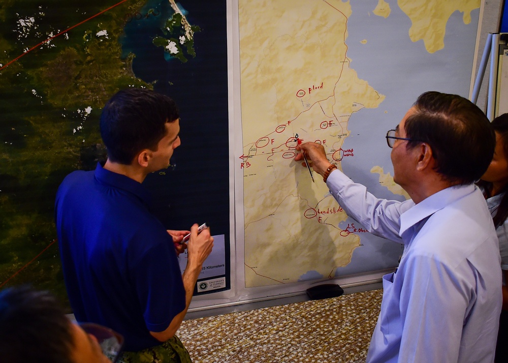
180524-N-QV906-0050 NHA TRANG, Vietnam (May 24, 2018) Lt. Andrew Smith (left), a U.S. Navy Civil Engineer participating in Pacific Partnership 2018 (PP18), discusses environmental obstacles when dealing with disaster recovery efforts with a Vietnamese counterpart during a Civil Engineering and Disaster Recovery Symposium. PP18’s mission is to work collectively with host and partner nations to enhance regional interoperability and disaster response capabilities, increase stability and security in the region, and foster new and enduring friendships across the Indo-Pacific Region. Pacific Partnership, now in its 13th iteration, is the largest annual multinational humanitarian assistance and disaster relief preparedness mission conducted in the Indo-Pacific. (U.S. Navy photo by Mass Communication Specialist 1st Class Micah Blechner/Released)
| Date Taken: | 05.24.2018 |
| Date Posted: | 05.25.2018 05:59 |
| Photo ID: | 4421454 |
| VIRIN: | 180524-N-QV906-0050 |
| Resolution: | 2740x1957 |
| Size: | 5.15 MB |
| Location: | NHA TRANG, VN |
| Web Views: | 38 |
| Downloads: | 4 |

This work, 180524-N-QV906-0050 [Image 8 of 8], by PO1 Micah Blechner, identified by DVIDS, must comply with the restrictions shown on https://www.dvidshub.net/about/copyright.


Engineers Discuss Emergency Preparedness During PP18 Symposium
No keywords found.




