
 Subscribe
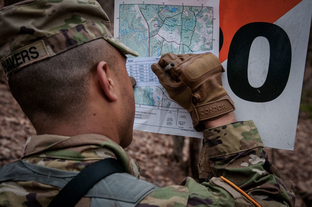
Sergeant Aaron Chavers, 198th Army Band, 99th Readiness Division, participates in the land navigation event for the 2018 Major Command-level Best Warrior Competition, at the Devens Reserve Forces Training Area in Massachusetts, April 17, 2018. Land navigation is a basic Soldier skill, that all Soldiers need to be proficient in, so they can make their way through austere environments. (U.S. Army Reserve photo by Pvt. Hunter E. Eastman) (Photo edited for effect.)
| Date Taken: | 04.17.2018 |
| Date Posted: | 04.17.2018 20:24 |
| Photo ID: | 4306998 |
| VIRIN: | 180417-A-KY717-3016 |
| Resolution: | 4288x2848 |
| Size: | 2.52 MB |
| Location: | DEVENS, MASSACHUSETTS, US |
| Web Views: | 53 |
| Downloads: | 4 |

This work, Lost in the woods - MCBWC searches for the best warrior [Image 2 of 2], by PV1 Hunter Eastman, identified by DVIDS, must comply with the restrictions shown on https://www.dvidshub.net/about/copyright.


Day Two of the 80th TC and 99th RSC Combined Best Warrior Competition
Lost in the Woods MCBWC Searches for the Best Warrior
No keywords found.




