
(e.g. yourname@email.com)

Forgot Password?

    Digital Visual Information Distribution System Logo

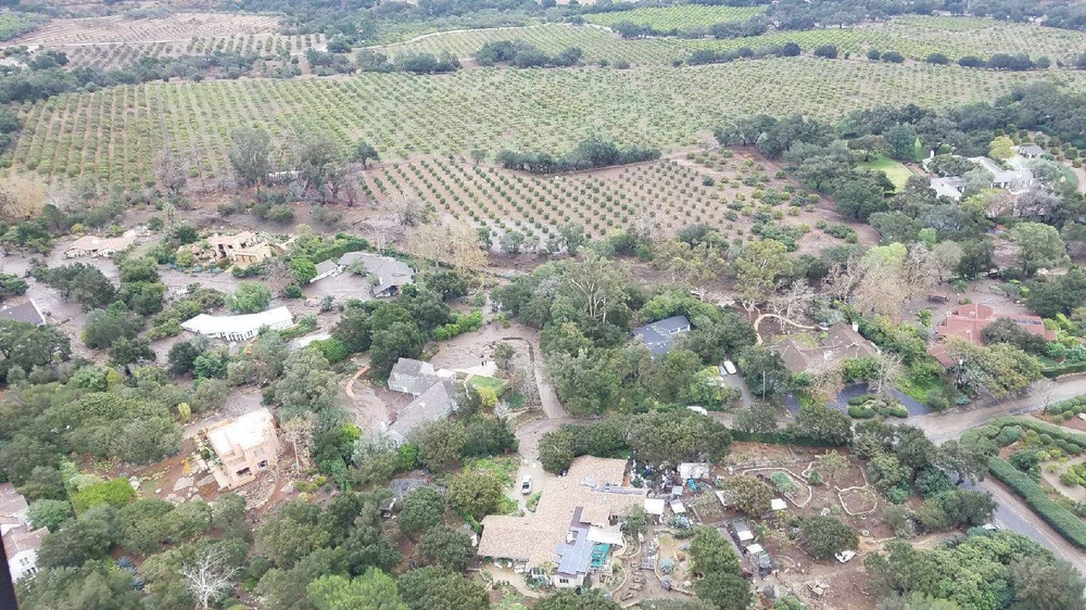
    Santa Barbara County neighborhood affected by mudslides [Image 1 of 2]

    Issued by: on

    VIRIN:
    Date Created:
    City:
    State:
    Country:
    An aerial photograph showing a semi-rural residential area interspersed with mature trees, surrounded by extensive agricultural orchards or vineyards in rows. The area appears to show signs of recent flooding or mudflow damage, with visible sediment deposits and debris around several structures. The landscape combines low-density housing with large-scale cultivated farmland in the background.

    SANTA BARBARA, CALIFORNIA, UNITED STATES

    01.09.2018

    Courtesy Photo

    U.S. Coast Guard PADET Los Angeles

    Homes and streets of a neighborhood affected by the Santa Barbara County mudslides in Santa Barbara, California are shown, Jan. 9, 2018, from the perspective of a Coast Guard MH-65 Dolphin helicopter crew involved in rescuing injured and stranded victims. Coast Guard helicopters were dispatched from Los Angeles-Long Beach and San Diego to assist local first responders with rescue efforts. (U.S. Coast Guard photo)

    IMAGE INFO

    Date Taken: 01.09.2018
    Date Posted: 01.09.2018 17:29
    Photo ID: 4069109
    VIRIN: 180109-G-G0211-0001
    Resolution: 1600x900
    Size: 416.46 KB
    Location: SANTA BARBARA, CALIFORNIA, US

    Web Views: 469
    Downloads: 23

    PUBLIC DOMAIN




