
 Subscribe
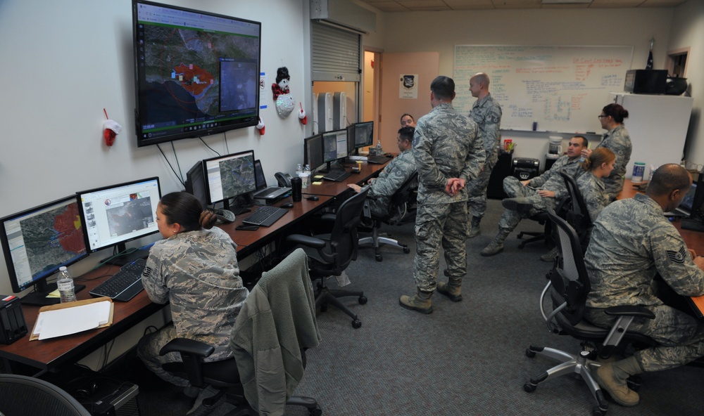
Air National Guard members from the 195th Intelligence, Surveillance, and Reconnaissance Group analyze full-motion video of the Thomas Fire and relay their findings to fire crews on the ground Dec. 11, 2017, at Beale Air Force Base, California. The team is using imagery from the MQ-9 Reaper to map the fire lines and look at fire expansion and progression. (U.S. Air Force photo/Airman 1st Class Tristan D. Viglianco)
| Date Taken: | 12.11.2017 |
| Date Posted: | 12.14.2017 14:57 |
| Photo ID: | 4030571 |
| VIRIN: | 171211-F-ZH169-0013 |
| Resolution: | 4256x2520 |
| Size: | 2.1 MB |
| Location: | BEALE AIR FORCE BASE, CALIFORNIA, US |
| Web Views: | 124 |
| Downloads: | 10 |

This work, Air National Guard provides aerial imagery support for Southern California fires [Image 2 of 2], by TSgt Tristan Viglianco, identified by DVIDS, must comply with the restrictions shown on https://www.dvidshub.net/about/copyright.


Air National Guard provides aerial imagery support for Southern California fires
No keywords found.




