
 Subscribe
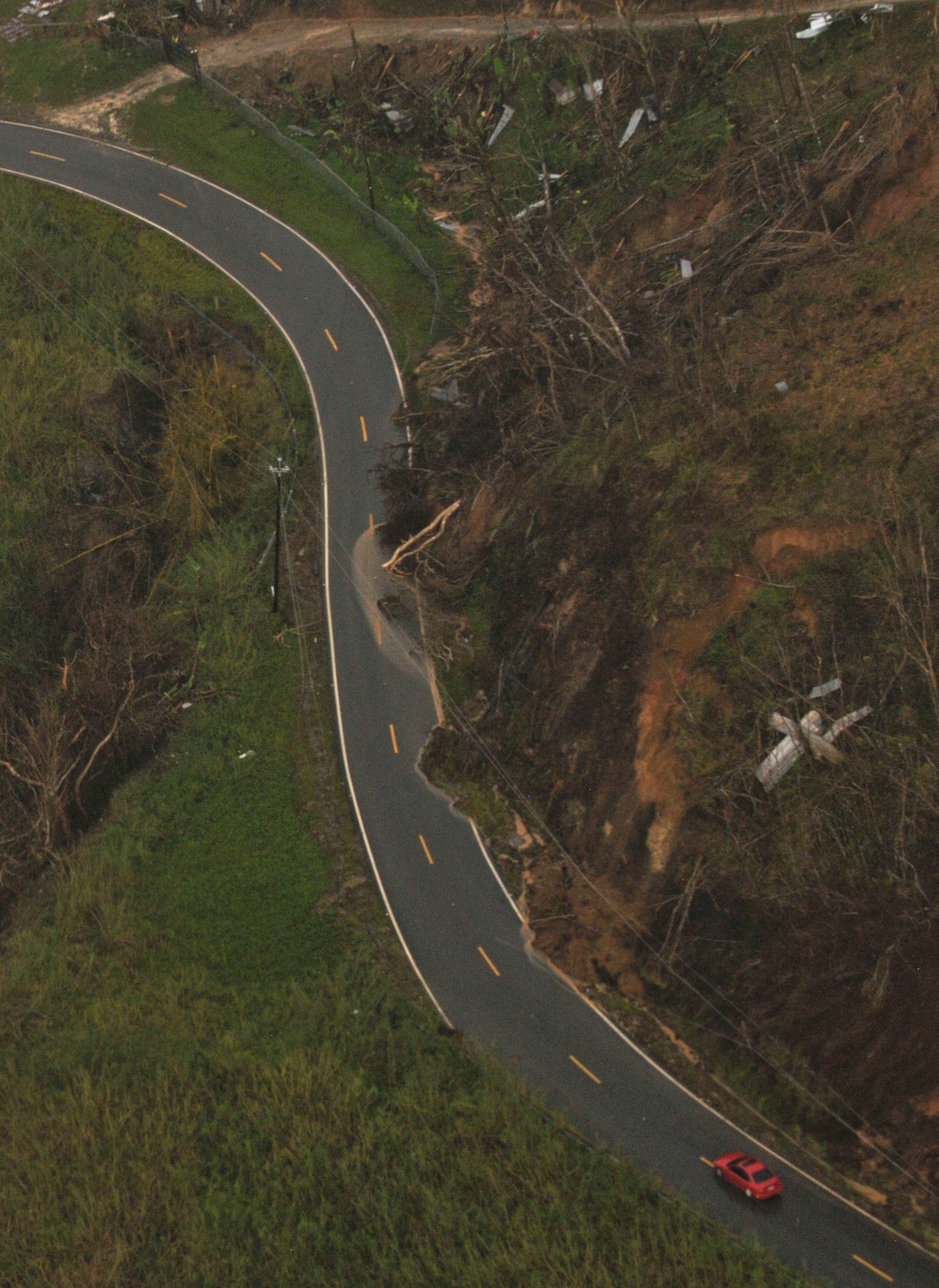
SAN JUAN, Puerto Rico – Debris washes over the roadway in a mountainous region in central Puerto Rico, Oct. 9, 2017. Personnel from the Puerto Rico Highways and Transportation Authority and U.S. Department of Transportation worked with the U.S. Department of the Interior Fish & Wildlife Service to monitor roadway damage and obstruction. The flight provided a first hand look at what areas are most severely impacted and will allow federal response organizations to better focus their efforts. (U.S. Army photo by Sgt. Lauren Harrah/Released)
| Date Taken: | 10.09.2017 |
| Date Posted: | 10.10.2017 15:04 |
| Photo ID: | 3849141 |
| VIRIN: | 171009-A-DP178-878 |
| Resolution: | 1980x2715 |
| Size: | 732.5 KB |
| Location: | PR |
| Web Views: | 76 |
| Downloads: | 6 |

This work, Aerial assessments provide insight for recovery in Puerto Rico [Image 6 of 6], by Lauren Harrah, identified by DVIDS, must comply with the restrictions shown on https://www.dvidshub.net/about/copyright.


Aerial assessments provide insight for recovery in Puerto Rico
No keywords found.




