
 Subscribe
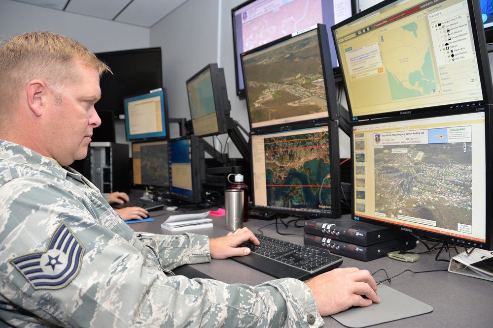
U.S. Air Force Tech. Sgt. Anthony with the 137th Intelligence Squadron, 181st Intelligence Wing, Indiana Air National Guard conducts near real-time analysis of U.S. Virgin Islands post Hurricane Irma, utilizing social media outlets, satellites, airborne platforms, and interactive maps, Terre Haute, Ind., Sep. 12, 2017. (U.S. Air National Guard photo by Senior Master Sgt. John S. Chapman)
| Date Taken: | 09.12.2017 |
| Date Posted: | 09.14.2017 12:43 |
| Photo ID: | 3769259 |
| VIRIN: | 170912-Z-PM441-6574 |
| Resolution: | 3936x2624 |
| Size: | 1.88 MB |
| Location: | TERRE HAUTE, INDIANA, US |
| Web Views: | 102 |
| Downloads: | 6 |

This work, Racers support Hurricane’s Harvey and Irma [Image 3 of 3], by SMSgt John Chapman, identified by DVIDS, must comply with the restrictions shown on https://www.dvidshub.net/about/copyright.


Racers support Hurricane’s Harvey and Irma
No keywords found.




