
 Subscribe
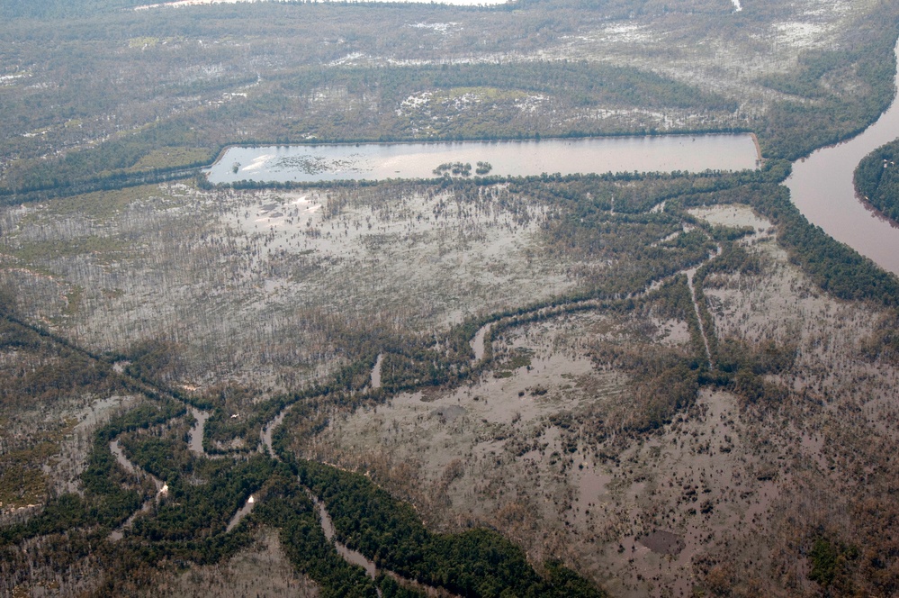
An aerial view from a UH-60 Blackhawk, gives an overview of the flooding of roadways and personal property in Orange, Texas, Sept. 10, 2017. Hurricane Harvey formed in the Gulf of Mexico and made landfall in southeastern Texas, bringing record flooding and destruction to the region. (U.S. Army National Guard photo by Maj. Christopher Gookin)
| Date Taken: | 09.10.2017 |
| Date Posted: | 09.12.2017 11:02 |
| Photo ID: | 3758949 |
| VIRIN: | 170910-Z-FX763-0014 |
| Resolution: | 3000x1993 |
| Size: | 5.17 MB |
| Location: | BEAUMONT, TEXAS, US |
| Web Views: | 80 |
| Downloads: | 2 |

This work, Hurricane Harvey [Image 7 of 7], by MAJ Christopher Gookin, identified by DVIDS, must comply with the restrictions shown on https://www.dvidshub.net/about/copyright.


No keywords found.




