
 Subscribe
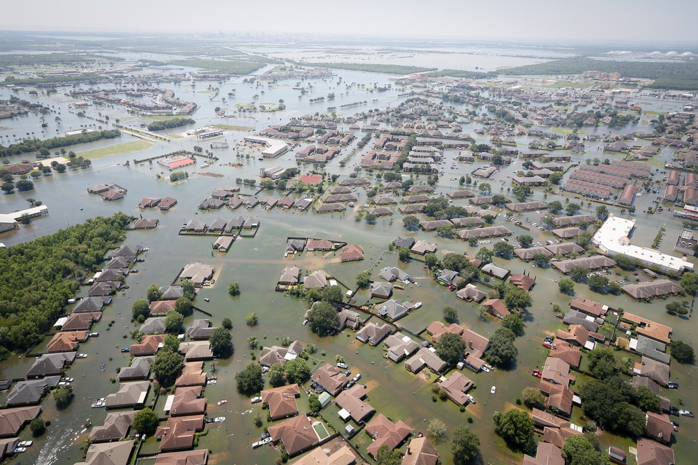
Flooding caused by Hurricane Harvey in Southeast Texas on August 31, 2017 (Air National Guard photo by Staff Sgt. Daniel J. Martinez/Released)
| Date Taken: | 08.31.2017 |
| Date Posted: | 09.09.2017 14:55 |
| Photo ID: | 3750186 |
| VIRIN: | 170831-Z-AH923-018 |
| Resolution: | 1620x1080 |
| Size: | 1.84 MB |
| Location: | HOUSTON, TEXAS, US |
| Web Views: | 1,403 |
| Downloads: | 16 |

This work, Aerial View of Port Arthur and Beaumont Texas after Hurricane Harvey [Image 15 of 15], by Capt. Daniel Martinez, identified by DVIDS, must comply with the restrictions shown on https://www.dvidshub.net/about/copyright.


No keywords found.




