
 Subscribe
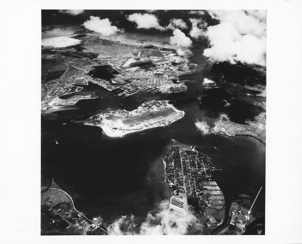
Original caption: Pearl Harbor, Oahu, T.H., May 21, 1942. Lower right is Pearl City, Peninsula, lower left corner is Aiea Area, upper left corner is Naval Supply Depot, Upper Tank Farm, Navy Yard, Hickam Field in center background. Right corner is Iroquois Point, right center Waipio Peninsula. Photo courtesy of the U.S. National Archives and Records Administration.
| Date Taken: | 11.03.2016 |
| Date Posted: | 11.15.2016 20:35 |
| Photo ID: | 2967126 |
| VIRIN: | 161103-A-D0335-017 |
| Resolution: | 3944x3184 |
| Size: | 5.05 MB |
| Location: | HAWAII, US |
| Web Views: | 301 |
| Downloads: | 67 |

This work, Pearl Harbor Archival Imagery [Image 24 of 24], must comply with the restrictions shown on https://www.dvidshub.net/about/copyright.


No keywords found.




