
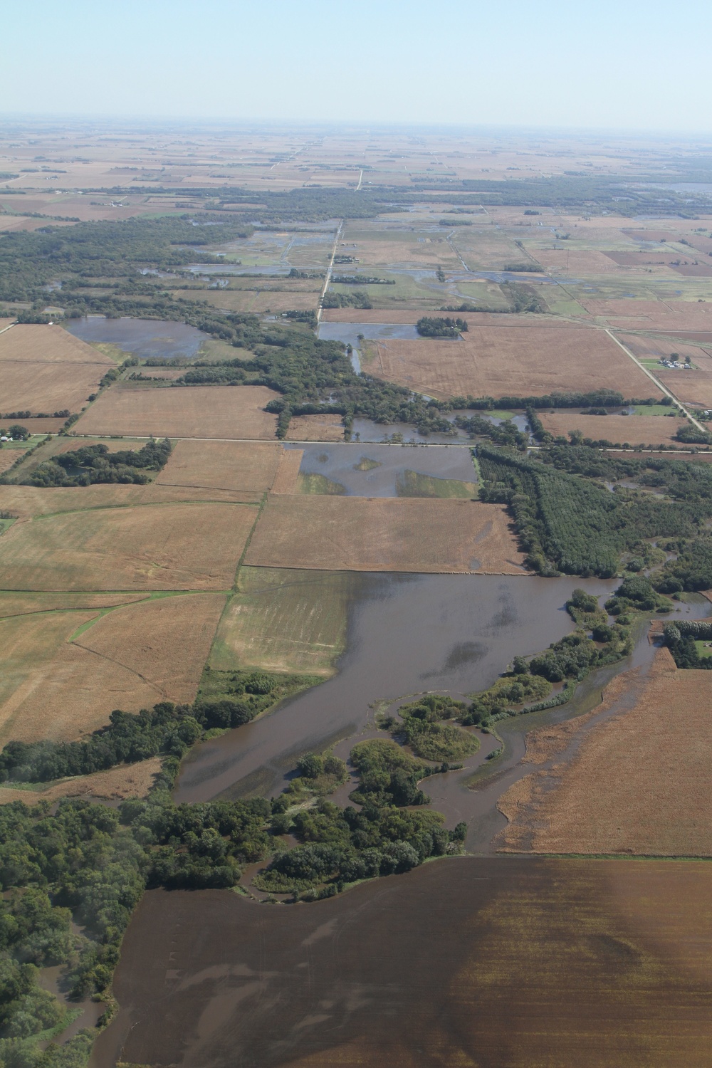
On Monday, September 26, Governor of Iowa Terry Branstad, Lieutenant Governor of Iowa Kim Reynolds, and The Adjutant General of Iowa Timothy Orr travel to northeast Iowa to tour areas most affected by the 2016 Cedar River flooding. The group met with the mayors of Charles City and Green township, and also met with emergency response teams in the area to discuss damage caused by flood waters, the estimated costs associated, and the citizens of Iowa in need. They also spoke of the efforts of the Iowa National Guard and local emergency response teams, and the progress made since the flooding began on Saturday. Governor Branstad is working to have a federal state of emergency declared to gain further support for Iowa's families and industries affected; he hopes to have a response from Washington soon. This photo: Aerial view of the flooding near Charles City and Greene township. (Iowa National Guard photo by Tech. Sgt. Linda K. Burger/Released)
| Date Taken: | 09.26.2016 |
| Date Posted: | 09.27.2016 07:09 |
| Photo ID: | 2881843 |
| VIRIN: | 160926-Z-OB216-060 |
| Resolution: | 3456x5184 |
| Size: | 2.18 MB |
| Location: | IOWA, US |
| Web Views: | 14 |
| Downloads: | 6 |

This work, Branstad, Reynolds and Orr travel to northeast Iowa to visit areas affected by 2016 Cedar River flooding. [Image 89 of 89], by TSgt Linda Burger, identified by DVIDS, must comply with the restrictions shown on https://www.dvidshub.net/about/copyright.


No keywords found.





