
 Subscribe
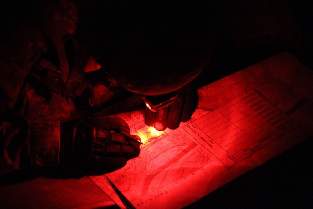
A U.S. Army Soldier, competing in the joint Best Warrior Competition hosted by 84th Reserve Training Command, plots his points during the Land Navigation event at Ft. Knox, Ky., March 23, 2016. The Best Warrior Competition is a four-day competition that tests competitors' Army aptitude by going through urban warfare situations, board interviews, physical fitness tests, written exams, Warrior tasks and battle drills relevant to today's operational environment. (U.S. Army photo by Spc. Josephine Carlson/Released)
| Date Taken: | 03.23.2016 |
| Date Posted: | 03.25.2016 23:42 |
| Photo ID: | 2487542 |
| VIRIN: | 160323-A-QI240-025 |
| Resolution: | 1086x724 |
| Size: | 167.38 KB |
| Location: | FT. KNOX, US |
| Web Views: | 28 |
| Downloads: | 7 |

This work, Soldier plots points during land navigation [Image 21 of 21], by SSG Josephine Carlson, identified by DVIDS, must comply with the restrictions shown on https://www.dvidshub.net/about/copyright.


No keywords found.




