
 Subscribe
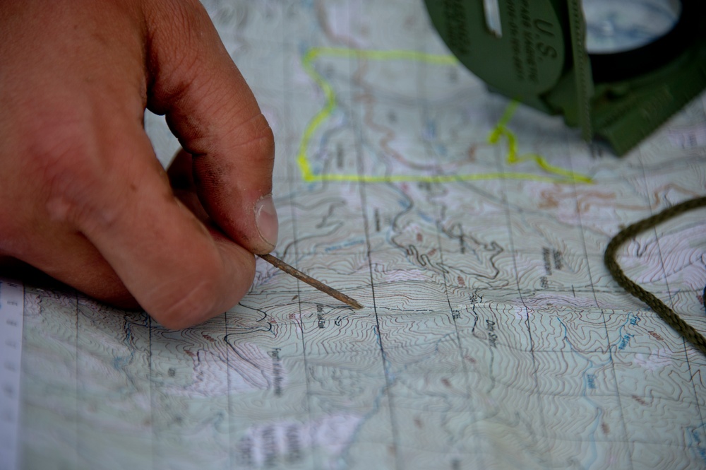
Airman 1st Class Zachary Mikolajczyk, 22nd Training Squadron Survival, Evasion, Resistance and Escape specialist, points at a location on a field training area map June 13, 2015, in the Colville National Forest, Wash. Mikolajczyk showed the S-V-80-A combat survival students how to find their location on a map. The students learned a variety of skills to include fire crafts, water procurement, land navigation and shelter building.
| Date Taken: | 06.13.2015 |
| Date Posted: | 07.28.2015 09:48 |
| Photo ID: | 2091297 |
| VIRIN: | 150613-F-JZ707-413 |
| Resolution: | 4256x2832 |
| Size: | 5.63 MB |
| Location: | FAIRCHILD AIR FORCE BASE, WASHINGTON, US |
| Web Views: | 108 |
| Downloads: | 9 |

This work, Confidence gained through SERE combat survival training [Image 12 of 12], by SSgt Nicolo Daniello, identified by DVIDS, must comply with the restrictions shown on https://www.dvidshub.net/about/copyright.


Confidence gained through SERE combat survival training
No keywords found.




