
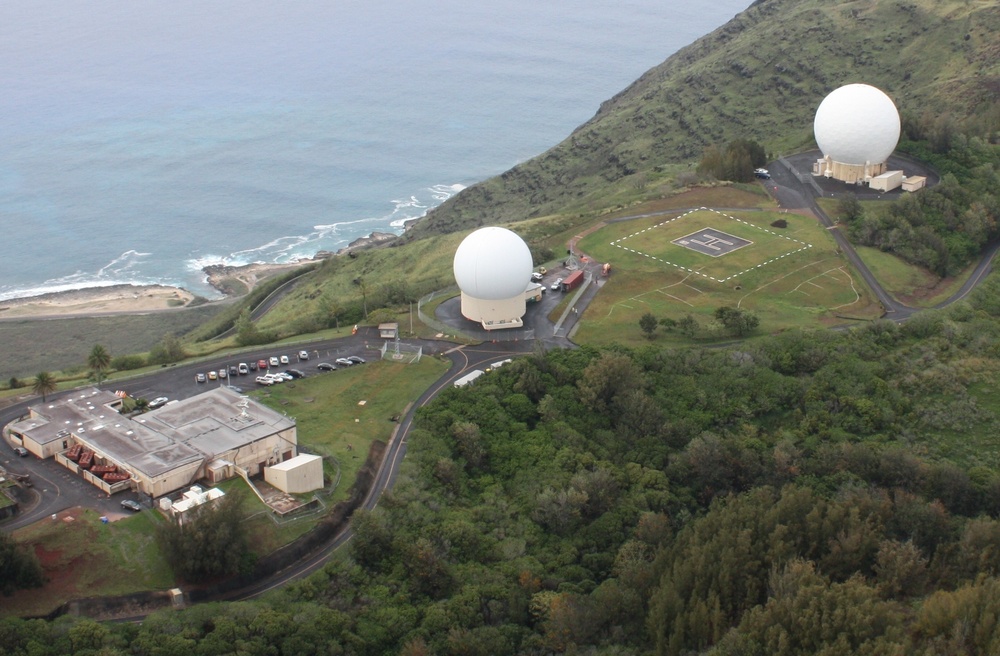
The Kaena Point Satellite Tracking Station, controlled by the 21st Space Operations Squadron, Detachment 3, celebrated 55 years of space operations Feb. 26, 2014. The station is located on Kaena Point above Keawaula Bay, the westernmost spot on Oahu, Hawaii. It is part of the Air Force Satellite Control Network, which consists of antennas located at tracking stations around the world. The AFSCN supports Department of Defense, U.S. government and allied satellites and space vehicles whose missions include manned spaceflight, communications, reconnaissance, navigation, weather and early warning. (Courtesy photo)
| Date Taken: | 02.26.2012 |
| Date Posted: | 03.07.2014 10:11 |
| Photo ID: | 1181338 |
| VIRIN: | 140306-F-VS625-001 |
| Resolution: | 2167x1422 |
| Size: | 1.24 MB |
| Location: | KAENA POINT, HAWAII, US |
| Web Views: | 314 |
| Downloads: | 37 |

This work, Kaena Point Satellite Tracking Station celebrates 55 years, by 2nd Lt. Jason Gabrick, identified by DVIDS, must comply with the restrictions shown on https://www.dvidshub.net/about/copyright.





