
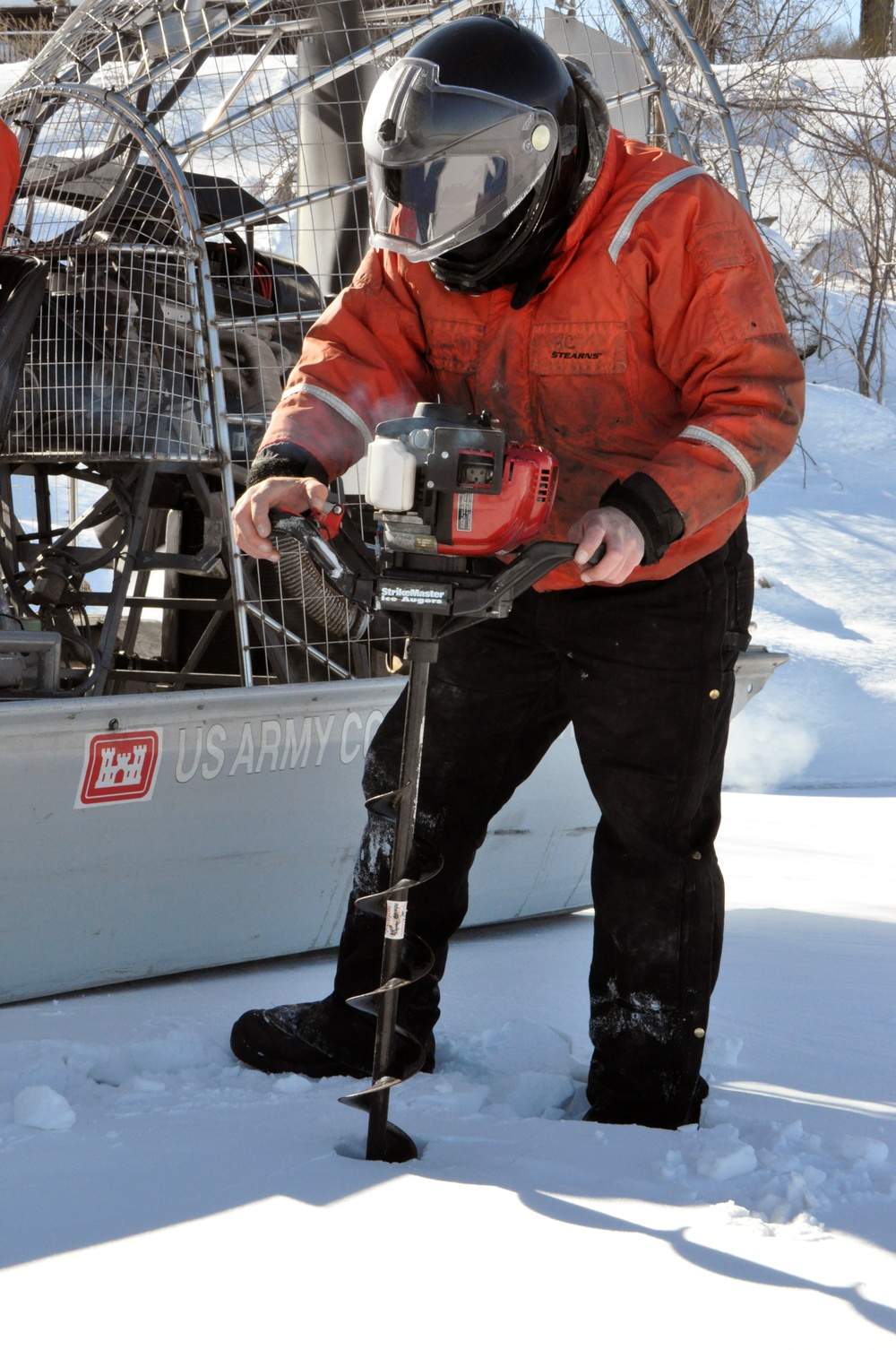
Bill Chelmowski, St. Paul District small boat operation and ice survey technician, prepares to drill a hole in the Mississippi River, near Lake City, Minn., Feb. 27, to measure the ice thickness within Lake Pepin. The Corps of Engineers measures the ice thickness every spring and the navigation industry uses the information to determine when to break through the ice and begin the shipping season. Lake Pepin ice is traditionally the last hurdle for the navigation industry to deal with before reaching St. Paul, because the ice is usually a lot thicker in the lake due to the slow moving current.
| Date Taken: | 02.27.2014 |
| Date Posted: | 02.27.2014 16:09 |
| Photo ID: | 1175960 |
| VIRIN: | 140227-A-LI073-004 |
| Resolution: | 2848x4288 |
| Size: | 6.1 MB |
| Location: | RED WING, MINNESOTA, US |
| Web Views: | 39 |
| Downloads: | 4 |

This work, Mississippi River ice surveys are a sign of spring [Image 4 of 4], by Patrick Moes, identified by DVIDS, must comply with the restrictions shown on https://www.dvidshub.net/about/copyright.


Mississippi River ice surveys are a sign of spring
No keywords found.





