
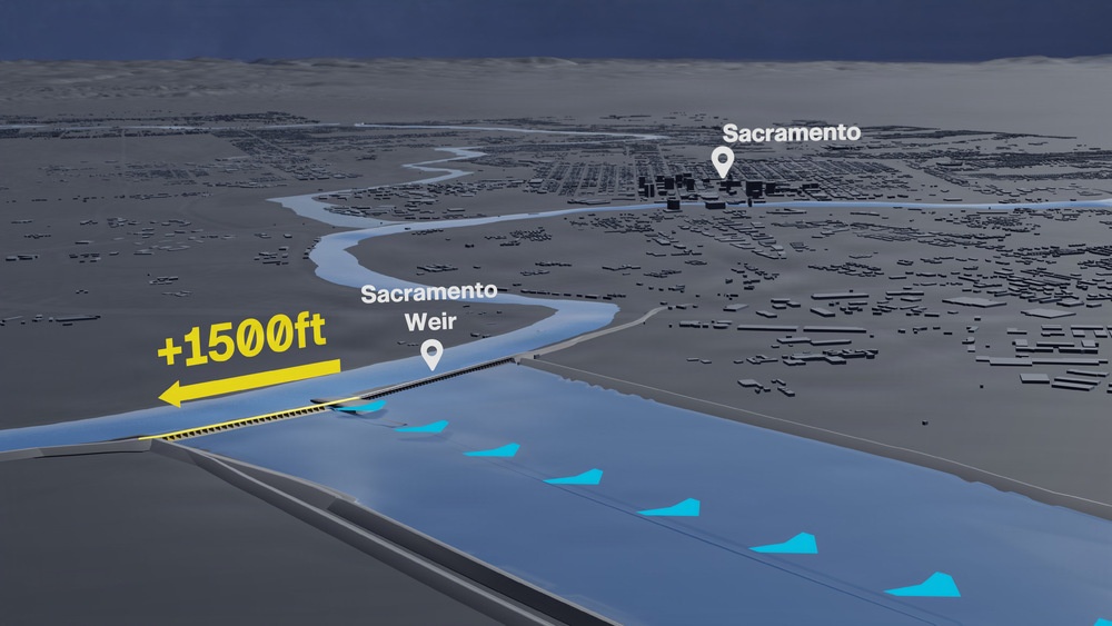
A 3D visualization depicts the U.S. Army Corps of Engineers Sacramento District’s Sacramento Weir Widening project near Sacramento, California. The project extends the existing weir by approximately 1,500 feet to increase the system’s capacity to divert floodwater from the Sacramento River into the Yolo Bypass. (U.S. Army graphic by John Prettyman)
| Date Taken: | 08.17.2026 |
| Published: | 08-17-26 09:25 PM |
| Graphic ID: | 44206 |
| VIRIN: | 260817-A-AN535-1004 |
| Size: | 1.27 MB |
| Location: | SACRAMENTO, CALIFORNIA, US |
| Web Views: | 3 |
| Downloads: | 0 |

This work, Sacramento Weir Widening 3D Visualization, by John Prettyman, identified by DVIDS, must comply with the restrictions shown on https://www.dvidshub.net/about/copyright.





