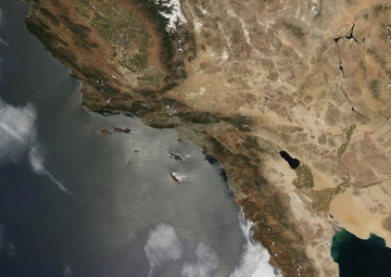
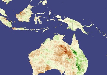
Courtesy Photo | NASA | 08.02.2011
. National Public Radio. Accessed May 30, 2008.
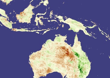
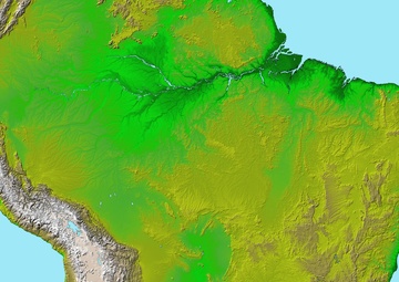
Courtesy Photo | NASA | 07.15.2011
Nino/Southern Oscillation Diagnostic Discussion. NOAA National Weather Service. Accessed March 14, 2008.
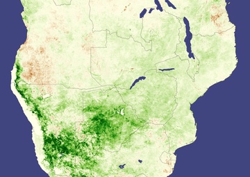
Courtesy Photo | NASA | 07.15.2011
Nino/Southern Oscillation Diagnostic Discussion. NOAA National Weather Service. Accessed March 14, 2008.
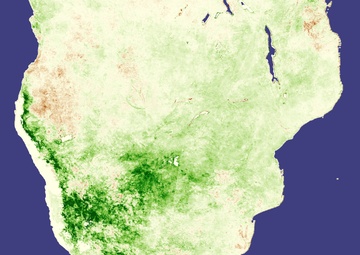
Courtesy Photo | NASA | 07.15.2011
Nino/Southern Oscillation Diagnostic Discussion. NOAA National Weather Service. Accessed March 14, 2008.
Courtesy Photo | NASA | 07.15.2011
Nino/Southern Oscillation Diagnostic Discussion. NOAA National Weather Service. Accessed March 14, 2008.
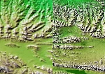
Courtesy Photo | NASA | 06.29.2011
arcseconds (about 928 meters north-south but variable east-west), matching the best previously existing global digital topographic data set called edcdaac.usgs.gov/gtopo30/gtopo30.html GTOPO30. The data were
Courtesy Photo | NASA | 06.27.2011
/NasaNews/2002/200207119838.html press release .) The area covered in the images above is the western part of the Kunlun fault, at the north edge of east-central Tibet. The sharp line marking the southern

Courtesy Photo | NASA | 06.29.2011
arcseconds (about 928 meters north-south but variable east-west), matching the best previously existing global digital topographic data set called edcdaac.usgs.gov/gtopo30/gtopo30.html GTOPO30. The data were