
 Subscribe
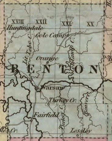
Map of Benton County from “Colton’s New Map of Missouri,” 1851 (Library of Congress)
| Date Taken: | 09.11.2026 |
| Date Posted: | 09.14.2026 11:03 |
| Photo ID: | 9928046 |
| VIRIN: | 260911-O-MF537-9234 |
| Resolution: | 367x461 |
| Size: | 65.21 KB |
| Location: | US |
| Web Views: | 2 |
| Downloads: | 0 |

This work, Captain Cook Caught Out at Cole Camp (19 JUN 1861), by Erin Thompson, identified by DVIDS, must comply with the restrictions shown on https://www.dvidshub.net/about/copyright.




