
(e.g. yourname@email.com)

Forgot Password?

    Digital Visual Information Distribution System Logo

    Quebec Campaign Ends at Three Rivers (8 JUN 1776)

    Issued by: on

    VIRIN:
    Date Created:
    City:
    State:
    Country:
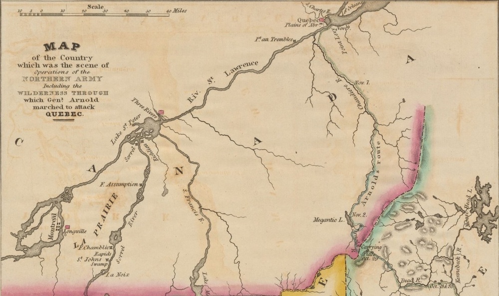
    This is a historical map depicting the region of operations of the Northern Army during the American Revolutionary War, specifically showing General Arnold's route through the wilderness to attack Quebec. The map covers the area including the St. Lawrence River valley, Montreal, Three Rivers, and Quebec, with Arnold's route marked in pink/red along the eastern portion. It includes dated waypoints along Arnold's march and geographic features such as rivers, lakes, and prairies.

    Map of the Quebec Campaign, 1775–1776 (Joseph Yeager, 1822) (New York Public Library)

    IMAGE INFO

    Date Taken: 09.11.2026
    Date Posted: 09.11.2026 13:05
    Photo ID: 9927814
    VIRIN: 260911-O-MF537-4748
    Resolution: 1270x753
    Size: 259.61 KB
    Location: US

    Web Views: 8
    Downloads: 0

    PUBLIC DOMAIN




