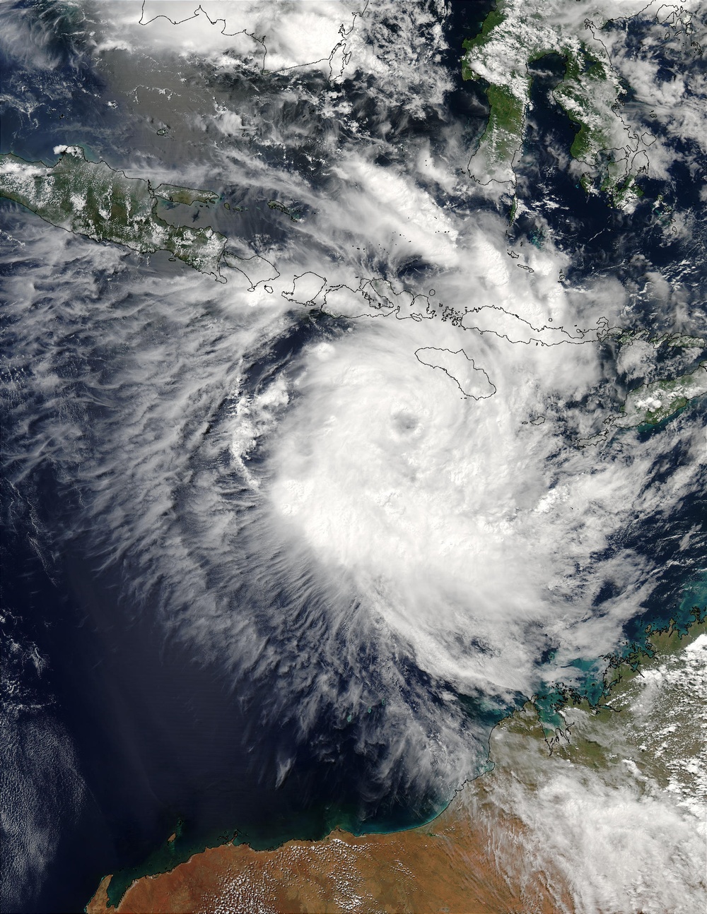
Packing sustained winds of 212 km/hr (132 mph), Tropical Cyclone Inigo is tracking to the west-southwest at 9 km/hr (6 mph). Inigo is expected to intensify over the next 12 hours and then hold intensity through the next 48 hours.
This true-color modis.gsfc.nasa.gov Moderate Resolution Imaging Spectroradiometer (MODIS) image of Inigo was acquired by the aqua.nasa.gov/ Aqua satellite on April 2, 2003.The high-resolution image provided above is 1000 meters per pixel. The MODIS Rapid Response System provides this image at MODIS' maximum spatial resolution of http://rapidfire.sci.gsfc.nasa.gov/gallery/?2003092-0402 250 meters.
Image courtesy Jacques Descloitres, rapidfire.sci.gsfc.nasa.gov MODIS Land Rapid Response Team at NASA GSFC.
| Date Taken: | 07.23.2011 |
| Date Posted: | 02.08.2013 06:00 |
| Photo ID: | 837771 |
| Resolution: | 1700x2200 |
| Size: | 791.97 KB |
| Location: | WASHINGTON, D.C., US |
| Web Views: | 11 |
| Downloads: | 0 |
