
(e.g. yourname@email.com)

Forgot Password?

    Digital Visual Information Distribution System Logo

    081042.274 - Black River Basin.383.9 S

    Issued by: on

    VIRIN:
    Date Created:
    City:
    State:
    Country:
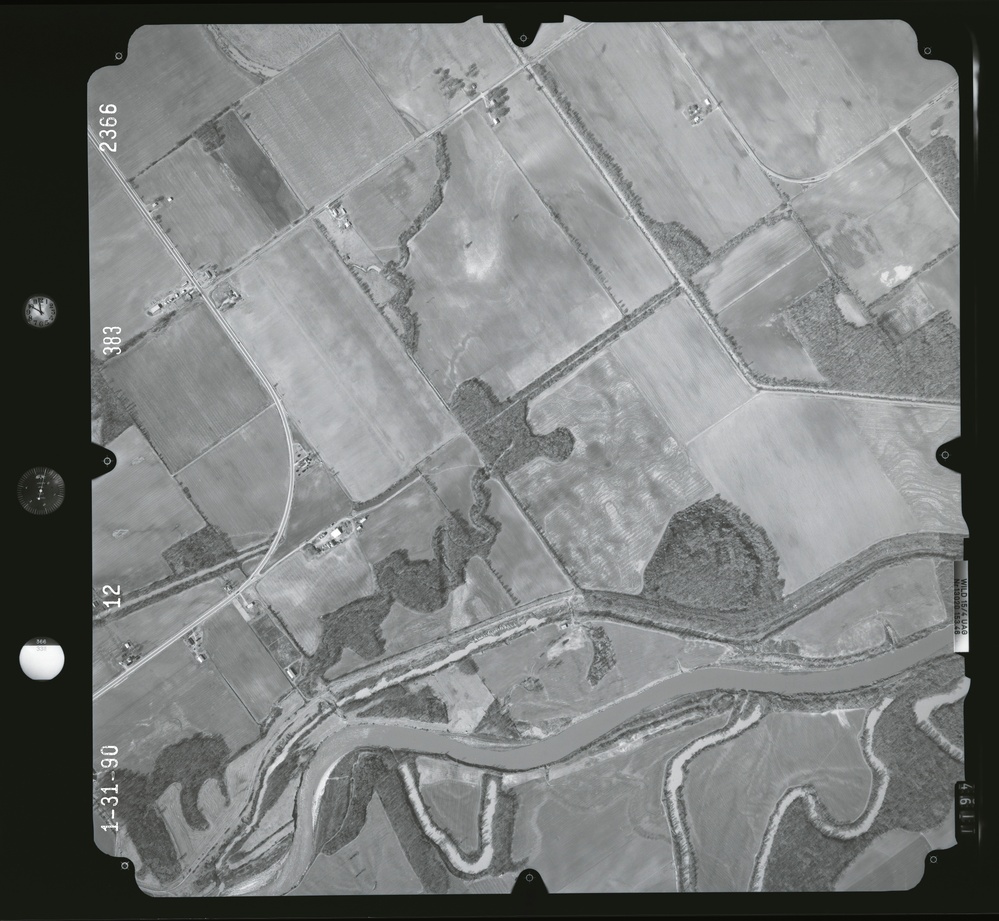
    This is a black-and-white aerial photograph dated 1-31-90 (January 31, 1990), showing a rural agricultural landscape with a meandering river system in the lower portion of the frame. The image captures a grid of farm fields, rural roads, scattered farmsteads, and riparian vegetation corridors associated with the watercourse. Frame identifiers 2366, 383, and 12 are visible along the left margin, consistent with standard aerial survey photography.

    GEORGIA, UNITED STATES

    11.10.2020

    Photo by Seaman connor engelmann  

    Defense VI Records Center           

    2104-2368.6 inches.1:12000.6000 AMT.Harris Aerial Surveys, Inc.909

    IMAGE INFO

    Date Taken: 11.10.2020
    Date Posted: 04.11.2022 10:29
    Photo ID: 7130723
    VIRIN: 201110-D-ZZ999-251
    Resolution: 9450x8708
    Size: 0 B
    Location: GEORGIA, US

    Web Views: 6
    Downloads: 1

    PUBLIC DOMAIN




