
(e.g. yourname@email.com)

Forgot Password?

    Digital Visual Information Distribution System Logo

    081037.269 - Table Rock Lake.408.4 S

    Issued by: on

    VIRIN:
    Date Created:
    City:
    State:
    Country:
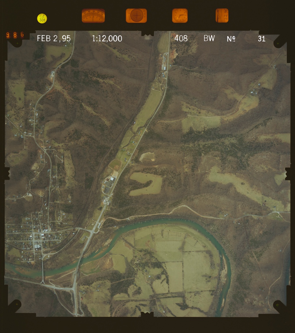
    This is an aerial photograph taken on February 2, 1995, at a scale of 1:12,000, labeled as frame 31 in a BW (black and white color infrared) survey series. The image shows a rural landscape featuring a small town or settlement on the left side, a prominent river meander in the lower portion, and a road or highway running diagonally through the center. Agricultural fields, wooded hillsides, and low-density residential development are visible throughout.

    GEORGIA, UNITED STATES

    11.10.2020

    Photo by Seaman connor engelmann  

    Defense VI Records Center           

    1-274.6 inches.1:12000.6000.Midwest Aerial Photography.425

    IMAGE INFO

    Date Taken: 11.10.2020
    Date Posted: 05.16.2022 11:21
    Photo ID: 7077824
    VIRIN: 201110-D-ZZ999-460
    Resolution: 8651x9752
    Size: 0 B
    Location: GEORGIA, US

    Web Views: 7
    Downloads: 1

    PUBLIC DOMAIN




