
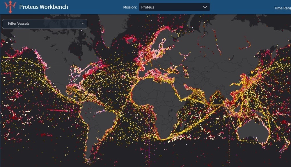
PROTEUS software monitoring sea vessels in real time on July 12, 2021. PROTEUS identifies, queries, and filters vessels based on user-defined criteria and provides near-real time global maritime situational awareness. (U.S. Navy image)
| Date Taken: | 12.24.2021 |
| Date Posted: | 01.20.2022 12:02 |
| Photo ID: | 7016705 |
| VIRIN: | 210712-N-NO204-001 |
| Resolution: | 1024x589 |
| Size: | 273.07 KB |
| Location: | US |
| Web Views: | 166 |
| Downloads: | 15 |

This work, PROTEUS Provides Global Maritime Domain Awareness, by U.S. Naval Research Laboratory, identified by DVIDS, must comply with the restrictions shown on https://www.dvidshub.net/about/copyright.





