
(e.g. yourname@email.com)

Forgot Password?

    Digital Visual Information Distribution System Logo

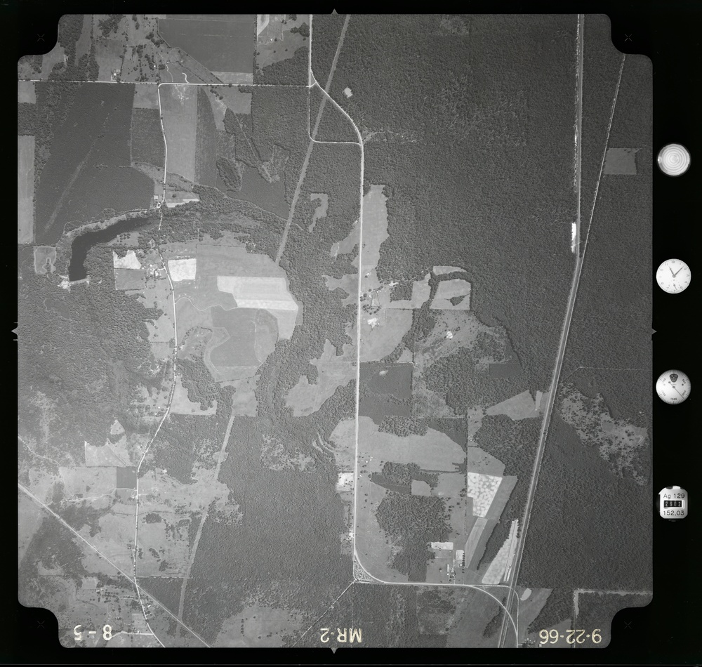
    083308.061 - Millwood Lake -- Millwood Lake.MR-1 -- MR-2.1 -- 1

    Issued by: on

    VIRIN:
    Date Created:
    City:
    State:
    Country:
    This is a black-and-white aerial photograph taken on September 22, 1966, identified by frame markings as MR-2, flight line 8-5. The image shows a rural landscape with a mix of forested areas, agricultural fields, water bodies, and sparse rural development. A major road or highway is visible along the right side, with secondary roads and farm lanes crossing the area.

    ARKANSAS, UNITED STATES

    01.04.2021

    Courtesy Photo

    Defense VI Records Center           

    . .1:20000 -- 1:20000. .Aerial Photo Service, Inc.707

    IMAGE INFO

    Date Taken: 01.04.2021
    Date Posted: 03.15.2021 14:42
    Photo ID: 6556273
    VIRIN: 691231-D-ZZ999-040
    Resolution: 9119x8662
    Size: 22.79 MB
    Location: ARKANSAS, US

    Web Views: 43
    Downloads: 4

    PUBLIC DOMAIN




