
 Subscribe
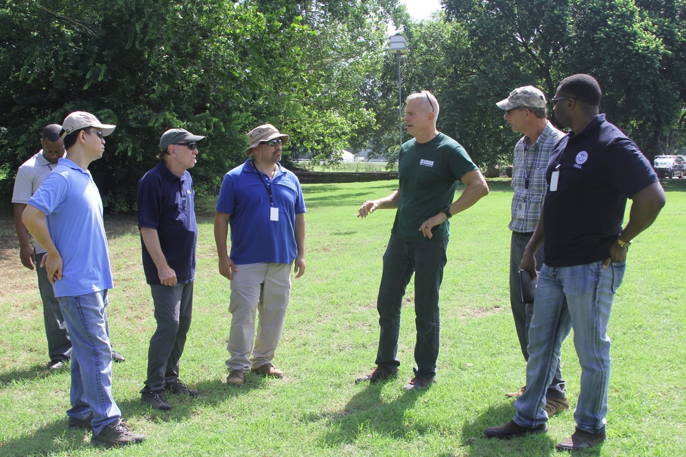
Tulsa, OK, USA--June 26, 2019--The USGS demonstrated to members of FEMA and the Oklahoma Water Resources Board how to find the high water marks after a flood. Finding and recording the marks is important for many reasons such as creating flood risk maps and aiding first responders in finding areas that are likely to flood.
| Date Taken: | 06.26.2019 |
| Date Posted: | 07.02.2019 14:05 |
| Photo ID: | 5539859 |
| VIRIN: | 190626-O-JG751-688 |
| Resolution: | 3324x2216 |
| Size: | 6.46 MB |
| Location: | TULSA, OKLAHOMA, US |
| Web Views: | 28 |
| Downloads: | 1 |

This work, How to Find the High Water Marks, by Judith Grafe, identified by DVIDS, must comply with the restrictions shown on https://www.dvidshub.net/about/copyright.




