
 Subscribe
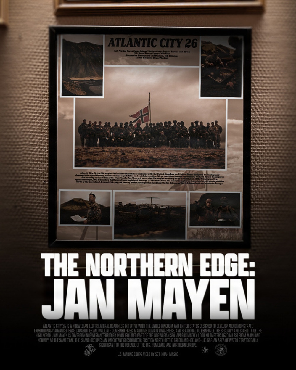
A graphic poster announces the upcoming release of "The Northern Edge: Jan Mayen," the video documentary for Operation Atlantic City 26. The video product highlights the trilateral force's ability to project power and defend key maritime terrain, reinforcing NATO's rapid-response posture in the High North. Atlantic City 26 is a Norwegian-led trilateral readiness initiative with the United Kingdom and United States designed to develop and demonstrate expeditionary advanced base capabilities and validate combined fires, maritime domain awareness, and sea denial to reinforce the security and stability of the High North. Jan Mayen is sovereign Norwegian territory in an isolated part of the Norwegian Sea, approximately 1,000 kilometers (620 miles) from mainland Norway. At the same time, the island occupies an important geostrategic position north of the Greenland-Iceland-U.K. gap, an area of water strategically significant to the defense of the U.S. homeland and northern Europe. This graphic was created on Sept. 2, 2026. (U.S. Marine Corps graphic by Sgt. Noah Masog)
| Date Taken: | 09.01.2026 |
| Published: | 09-17-26 09:12 AM |
| Graphic ID: | 44950 |
| VIRIN: | 260902-M-EE367-1002 |
| Size: | 342.79 KB |
| Location: | JAN MAYEN, NO |
| Web Views: | 4 |
| Downloads: | 0 |

This work, The Northern Edge: Jan Mayen, by Sgt Noah Masog, identified by DVIDS, must comply with the restrictions shown on https://www.dvidshub.net/about/copyright.




