
 Subscribe
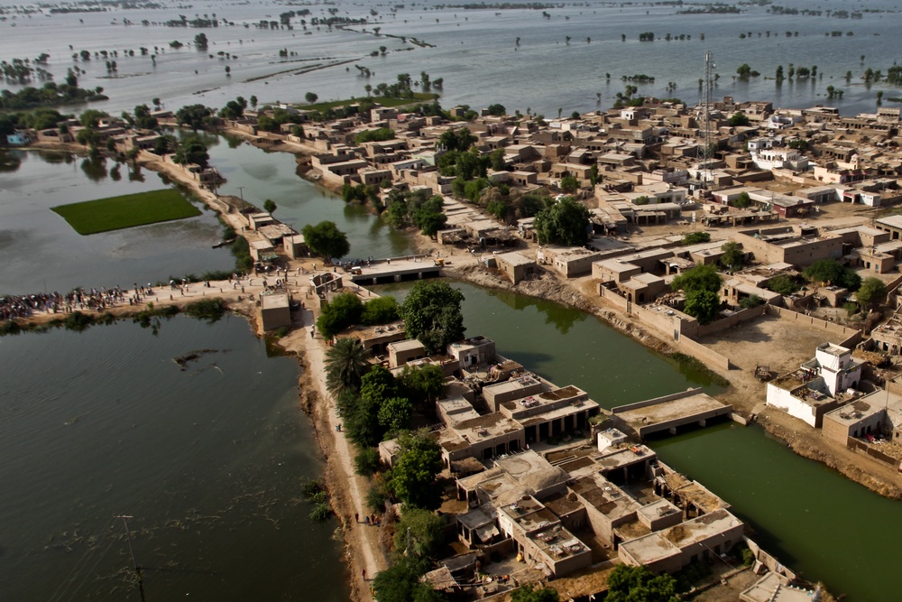
An aerial view of a town surrounded by flood water as U.S. Marine pilots from the 26th Marine Expeditionary Unit begin their landing approach to deliver food supplies in support of the Pakistan flood relief effort in Pano Aqil, Pakistan, Sept. 14.
| Date Taken: | 09.14.2010 |
| Date Posted: | 09.16.2010 08:44 |
| Photo ID: | 319335 |
| VIRIN: | 100914-A-6670G-001 |
| Resolution: | 3642x2429 |
| Size: | 4.98 MB |
| Location: | PANO AQIL AIR FIELD, PK |
| Web Views: | 298 |
| Downloads: | 19 |

This work, Pakistan Humanitarian Aid Flood Relief [Image 17 of 17], by Wayne Gray, identified by DVIDS, must comply with the restrictions shown on https://www.dvidshub.net/about/copyright.


No keywords found.




