
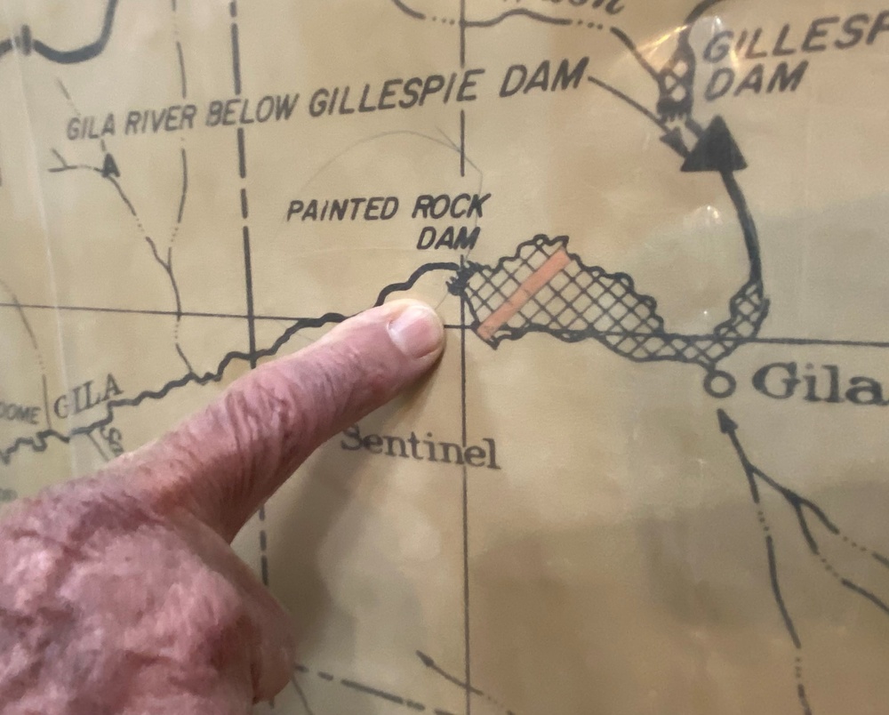
Donald “Donnie” May, dam operator at Painted Rock Dam, explains the importance of the dam’s location March 24 near Gila Bend, Arizona. The Painted Rock Dam is a major flood control project in the Gila River Drainage Basin, constructed and operated by the U.S. Army Corps of Engineers Los Angeles District.
| Date Taken: | 03.24.2021 |
| Date Posted: | 03.26.2021 19:24 |
| Photo ID: | 6573069 |
| VIRIN: | 210324-A-RY318-113 |
| Resolution: | 2672x2148 |
| Size: | 676.5 KB |
| Location: | GILA BEND, ARIZONA, US |
| Web Views: | 207 |
| Downloads: | 14 |

This work, Map [Image 10 of 10], by Robert DeDeaux, identified by DVIDS, must comply with the restrictions shown on https://www.dvidshub.net/about/copyright.


LA District leaders tour Painted Rock Dam project
No keywords found.





